The Latest
-
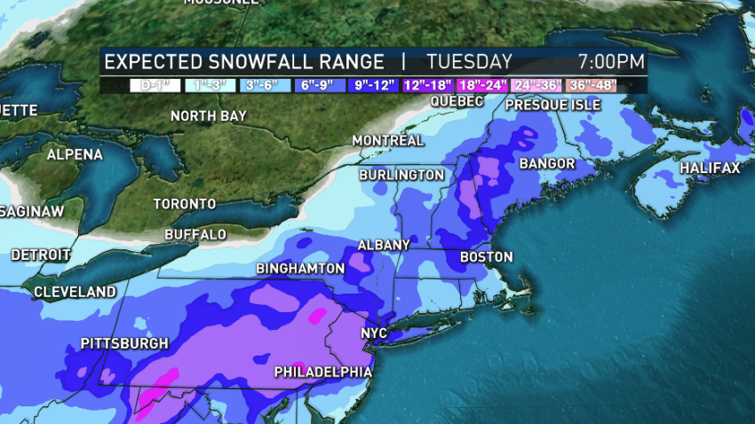
First Alert: Multi-Day Nor'easter Bringing Heavy Snow to Region Monday Into Tuesday
A pretty — but pretty cold — weekend will be followed by a multi-day nor’easter. Low temperatures will remain in the single digits again this morning in Southeastern New England, making it the first back-to-back single-digit days since Jan. 30 and Jan. 31, 2019. But at least the wind is relaxing as we warm up to close to 20 degrees…
-
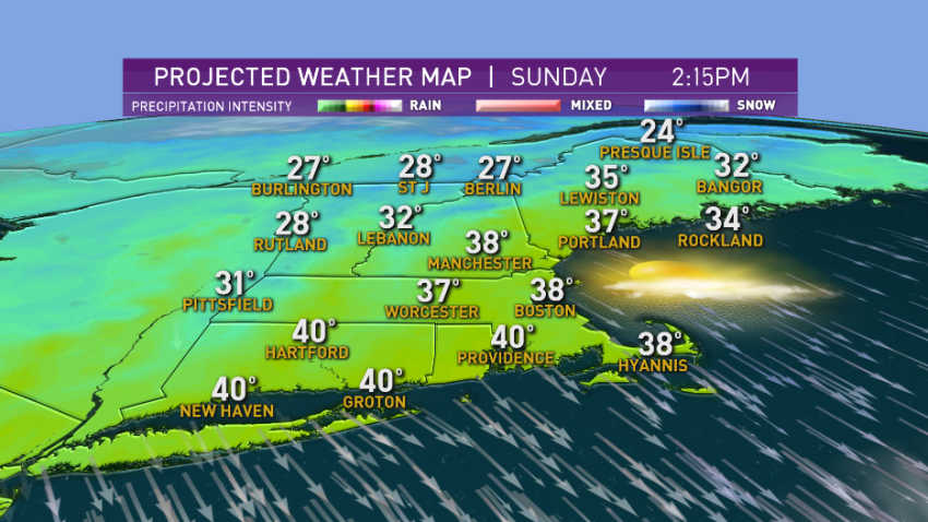
Bright Sunday, Quiet Weather Week Ahead
A storm system that brought several inches of snow to parts of North Carolina is now passing well to the southeast of New England. Even though the bulk of the precipitation stayed offshore, there was a band of ocean effect snow that developed on the brisk northerly wind in Southeastern Massachusetts, with a slight accumulation. For the most part, a…
-
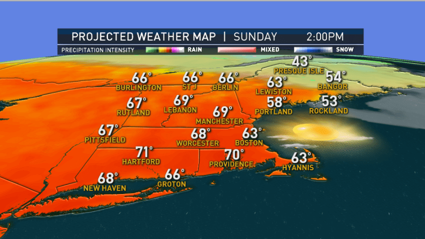
Most of New England Sees Sunshine Sunday With Temps in 60s, 70s
On this day in 1938, many spots in New England warmed to 75 and 80 degrees. Some of those record warm temperatures are in jeopardy this afternoon.
-
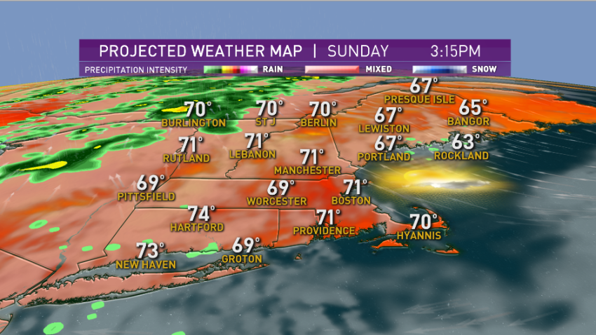
Chilly Morning Gives Way to Sun Throughout New England
It was another chilly start in New England this morning. Norwood, Massachusetts got down to 39 degrees with some fog this morning.
-
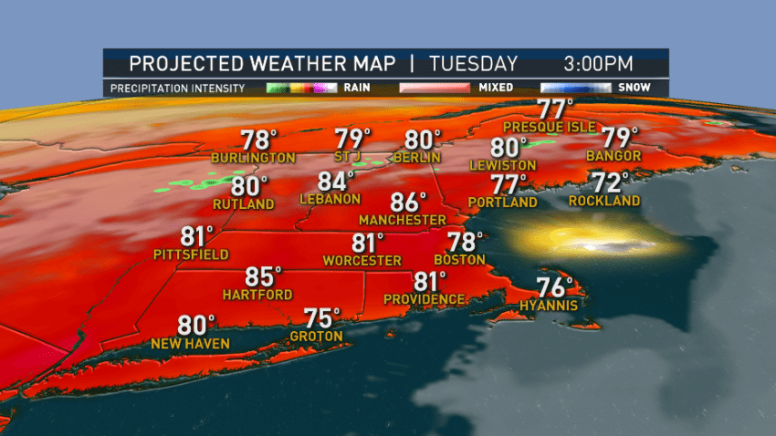
Following Beautiful Labor Day Weekend, Increasing Warmth, Humidity on Tuesday
Many of us topped 80 degrees today, but it has been very windy near the Canadian border, with gusts to 50 mph at Burton Island on Lake Champlain due to a powerful storm in Ontario. For most of New England, an area of high pressure across the Canadian Maritimes will continue our dry stretch across the region. It will be…
-
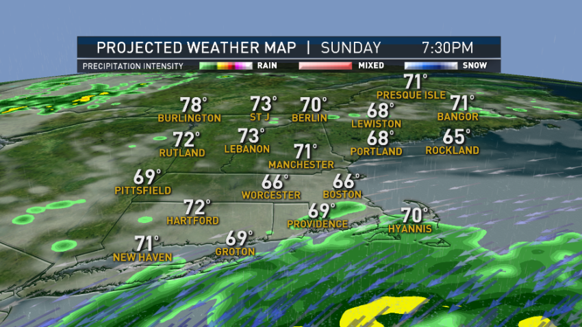
Rare, Weak Summer Nor'easter to Drop Light Rain Tonight
Head north for sunshine on this Sunday afternoon. We have a low pressure rippling south of Long Island towards Nantucket this afternoon and overnight. It’s actually evolving into a rather rare summertime weak nor’easter. The high-pressure system across southeastern Canada brings us a nice afternoon in Vermont, New Hampshire and inland Maine. It will create a pressure gradient, generating...
-

This May Be Our Last, Best Chance to See Comet Neowise in New England
Comet Neowise makes its closest encounter with Earth Tuesday night and Wednesday, flying a mere 68 million miles away. Then it starts fading and will not make another pass around the sun and Earth until around the year 8820. The comet was discovered by a telescope launched into space December 2009 and now orbiting Earth at an altitude of about 300…
-
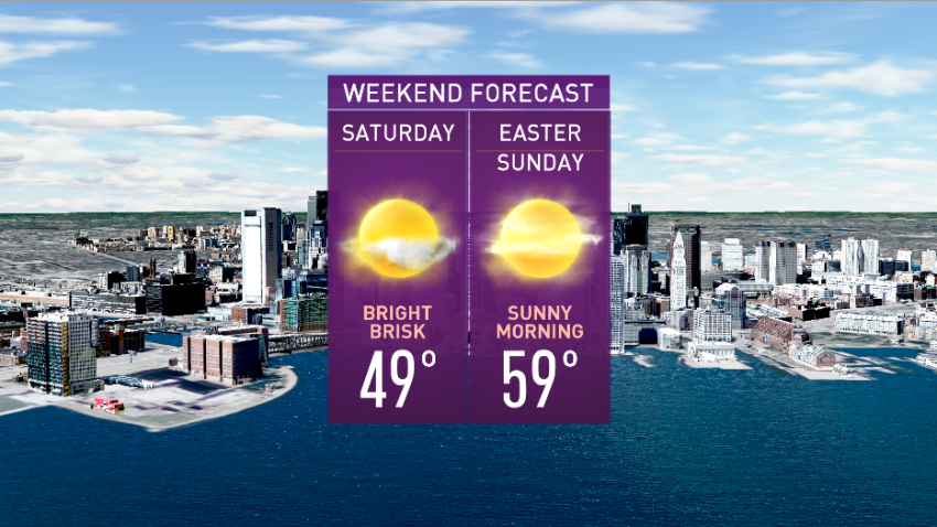
Mild Weather This Weekend, With Temps in the 60s Possible Easter Sunday
A powerful area of low pressure continues to slowly shift east of New England Friday night. Power outages continue across Maine with gusty northwest winds acting on the heavy, wet snow that fell on trees and power lines. Evening rain showers and snow showers with pockets of graupel (ice pellets) are ending with partial clearing overnight into Saturday. Low temperatures will...
-
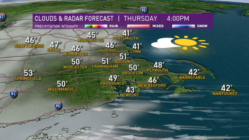
For the First Time in a Few Days, a Frosty Start
We have a rather frosty start this morning, is more seasonable air has moved into New England for a day.
-
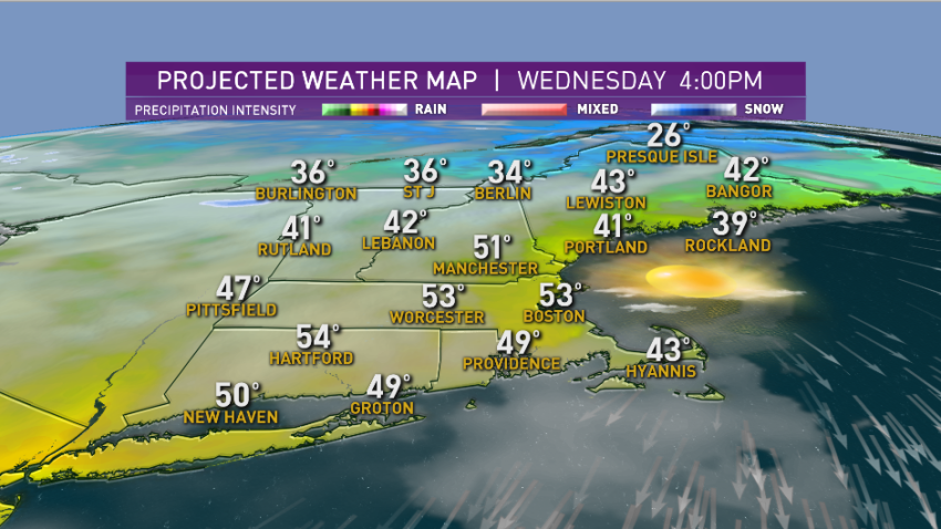
Brush Fire Danger Down After Slight Rainfall
Showers last night were associated with a cold front bringing a little bit more seasonable temperatures to New England today.

