The calendar says it’s Nov. 6, but it doesn’t feel like fall at all! In fact, we’re tracking record-breaking heat on Wednesday before a big cooldown pushes in for the weekend.
As of this writing, Boston has shattered its record high temperature! At noon Wednesday, we saw a high temperature at Logan Airport of 78 degrees, eclipsing the previous record high of 76 degrees set in 2022. Worcester has also set a new record high temperature of 75 degrees. The old record high was 72 degrees set back in in 2022.
Hartford and Providence have also shattered record high temperatures!

Why are we so warm, you ask? Well, it’s all courtesy of an area of high pressure to our east, giving us abundant sunshine and pushing in warm, gusty southwest winds over our region. Some areas, in fact, could reach the low 80s!
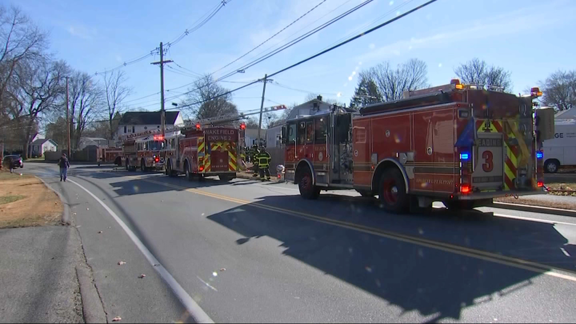
But those warm, gusty winds and dry conditions are still creating some big fire weather concerns for southern New England. A Red Flag Warning remains in effect until 6 p.m. Wednesday. Outdoor burning is not recommended.


Unfortunately, as the cold front crosses our area on Wednesday night, it will not bring any rain, which we desperately need. So please continue to practice fire safety over the next few days.
Behind the front, though, cooler weather will move in. Highs on Thursday will be in the upper 60s, and then by Friday, we’ll be in the low 60s.

A quick-moving cold front will slide in through the weekend, delivering even cooler weather. Highs on Saturday will be in the low 50s. Highs will climb into the upper 50s on Sunday.
Our best chance of rain will arrive with a frontal system late Sunday into Monday (Veterans Day). Scattered showers are likely.


Tracking Hurricane Rafael
We’re also keeping an eye on Rafael in the tropics. The storm strengthened into major hurricane on Wednesday. The storm will cross western Cuba before pushing into the Gulf of Mexico. Once there, it is forecast to meander in the Gulf until early next week as it pushes west.
We’ll keep you posted on Rafael’s track over the next few days.


