


The offshore low-pressure system that brought days of clouds and rain chances begins to move away, with the worst of the rain tapering off this morning.
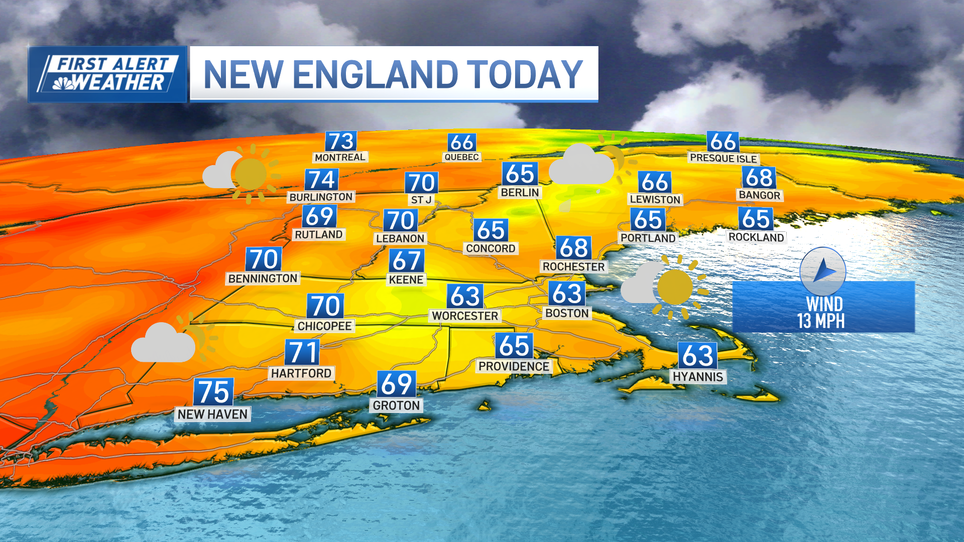
Today is the fall equinox! 8:44 a.m. is the official start time of autumn. The next 7 days will feel, temperature wise, like the beginning of October with highs in the 60s.
The offshore low-pressure system that brought days of clouds and rain chances begins to move away, with the worst of the rain tapering off this morning.


The high tide this afternoon brings the potential for minor coastal flooding, and surf stays choppy through the day. The coastal flood potential during high tide near 3pm on Sunday will be amplified by wind gusts of 20-30 mph, especially around the Cape and Islands.
By Sunday afternoon, conditions improve quickly for Central Mass and areas inland as drier air moves in, bringing partly sunny skies. However, coastal areas will remain cloudy with a few pops of sun possible before the sun sets.

Winds along the coast will gradually ease overnight. From Monday through midweek, skies stay mostly cloudy and continued onshore breezes.
Rain chances increase again by midweek as a front approach from the Great Lakes. Temperatures stay cool, with highs in the 60s to low 70s, and patchy fog may develop during the overnight hours.

Local


Have a great day!


