Our weather pattern has made a switch with some showers, rough seas, gusty winds, and a true fall feel as temperatures barely get into the 60s at the coast over the next few days.
Isolated bands of heavy rain will flow in intermittently from the southeast. The heaviest rainfall will be across Cape Cod and the islands with around 1” through Saturday.
Around Boston, looking like around a quarter inch of rain, with areas northwest getting spotty showers and barely any accumulation.

The wind gusts will be from the east, northeast up to 40 mph will be around at the coast through Saturday.
Farther inland winds will be 15 -25 mph.

By the weekend, this crummy weather lingers Saturday into early Sunday.
Our lingering northeast winds will give us some showers, drizzle, clouds, and cool temps in the mid 60s at the coast to start.
This cooler air lingers for Sunday with highs in the 60s and some drying.

Wave heights also churn up a bit offshore by Friday through Sunday.
Heights of 5-8 feet, beach erosion, and dangerous rip currents will be likely through this time.

Low-lying areas may see coastal flooding during the high tides in the afternoons starting today and through the weekend. This is due to an overall already astronomical high tide from the full moon earlier this week.
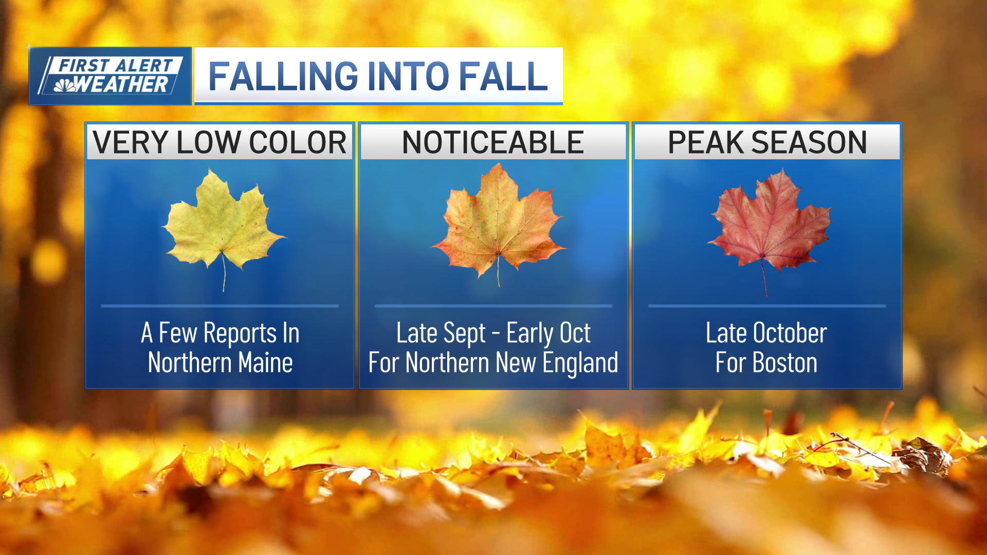
Next week we stay consistently fall-ish, and right on schedule, as highs remain in the 60s through much of next week.
Astronomical fall begins on Sunday with the Autumnal Equinox. This is when the sun’s most direct rays cross the equator at 8:43 am Sunday, and its direct rays go southward until the December Solstice due to the Earth’s tilt and our orbital location around the sun.


