DoorDash driver carjacked while trying to make delivery in Methuen
Police said the suspect was armed with a gun and stole the driver’s Subaru Forester at the intersection of East Prospect and Coolidge streets on Friday.

Police said the suspect was armed with a gun and stole the driver’s Subaru Forester at the intersection of East Prospect and Coolidge streets on Friday.

Massachusetts state law now prohibits landlords from passing broker fees onto incoming tenants.

A person was rushed to the hospital after a tree came down on a car in Holliston, Massachusetts, on Friday afternoon.

The Middlesex District Attorney is investigating the use of force by the Everett police officer who shot an armed carjacking suspect.


Borrowers in the Saving on a Valuable Education (SAVE) plan will see interest accrued once again.

Freniere said she knew Michael Sullivan, who will be working with Norfolk County prosecutors to represent them on their dealings with the U.S. Attorney’s Office.


Dustin May is set to take the mound at Fenway Park for a second straight Sunday. This time, however, he’ll be wearing a different jersey.


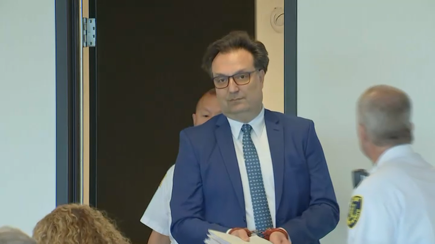
Friday’s hearing was brief and procedural, with Judge Diane Freniere revealing a potential conflict due to an existing relationship she has with an attorney on the prosecutors’ side.

An armed robber has been arrested after she allegedly stole several boxes of ice cream from a CVS Pharmacy in Boston’s Dorchester neighborhood.