The latest weather system to sweep through New England has left communities across the region dealing with significant flooding, just a few days after the first snow storm to hit Greater Boston.
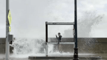
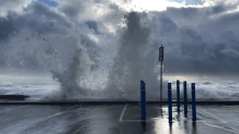
Large waves were seen crashing over a sea wall in Winthrop, Mass., leading to street flooding along the coast. Not far inland, cars were pictured Wednesday morning halfway underwater on Vale Street along the Chelsea-Everett line.
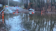
Flooding closed Route 1A in Salisbury, and closed Exit 13B on Interstate 93 northbound due to water on Morrissey Boulevard in Boston.


In Norwood, a car was seen washed away on Upland Road, where a big mess was left behind from the heavy rain.
Further north, in Wells, Maine — a town of about 10,000 people 30 miles south of Portland — coastal flooding closed down roads and made for impressive wave displays along the rocky Maine seashore.
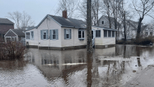
South of the New Hampshire line, the Atlantic high tide was spilling onto roads in Hampton Beach, Wednesday morning. The ocean went into major flood stage there, with a reading of 13.67 feet by the National Weather Service.
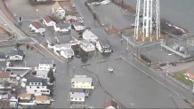
In Rhode Island, there were several street closures due to flooding around the state, including Route 146, which has since reopened. Some people had to be evacuated from their homes in West Warwick. The Pawtucket River at Cranston has been rapidly rising Wednesday morning, and is projected to hit 15.2 feet overnight — the second highest crest on record. It's already hit major flood stage.
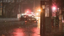
There were evacuations in Connecticut, too, where the Yantic River overflowed amid a partial dam break. The river crested at 14.23 feet, which is the third highest level in recorded history for that gauge. Roads were closed in communities across the state.
![[tint-NBC_Connecticut] Flood damage in Southington](https://media.necn.com/2024/01/597007.jpeg?quality=85&strip=all&resize=218%2C123)
Also in Connecticut, a photo surfaced of a man said to be trapped inside a Domino's pizza restaurant. He's seated on top of a table wearing his rainboots, looking out the window.
![[tint-NBC_Connecticut] People stuck in Domino’s](https://media.necn.com/2024/01/597184.png?resize=218%2C123&quality=85&strip=all)
Here are more images of Wednesday's coastal flooding in Revere and Winthrop, Mass.


