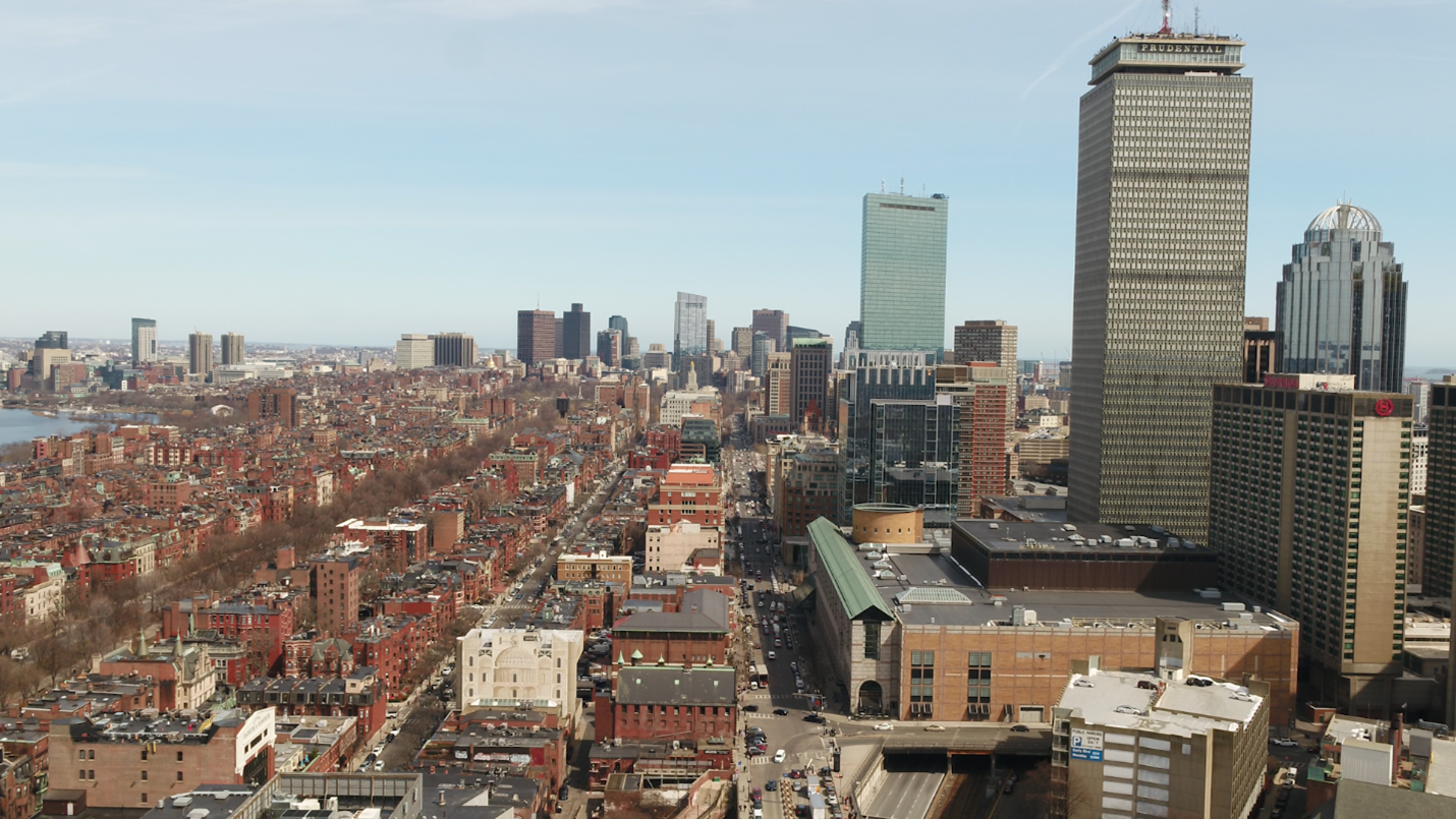
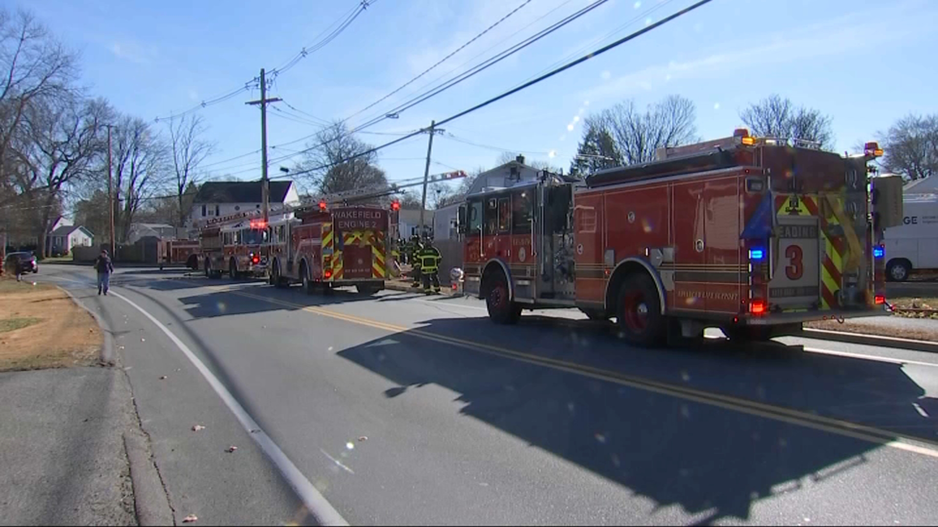
The rain continues!
While not as wet as Thursday – and punctuated by a few sunny breaks – we’re still seeing some showers as the storm holds fast in New England. Our final batch will come Friday afternoon and into tonight.
As temperatures cool into Saturday, there may even be a few wet snowflakes that mix in across the Worcester Hills.
All told, rainfall amounts have lived up to expectations.
Generally, an inch (or more) has fallen across the area, with another quarter to half inch expected into Saturday. This puts a dent into the drought and smothers the fire danger, but we’re far from safe harbor. The pattern will help in the coming days, however.
After the showers break off Saturday, the sun returns for Sunday. Cool readings are expected throughout the weekend.

We’ll recover a bit Monday and Tuesday before a quick-moving weather system shoots a cold shot into the region before the holiday weekend.
This cold will set the table for an untimely storm by Black Friday. Right now, guidance is all over the place with the track. That makes predicting snowfall amounts full of folly and frustration. The big takeaway from this is the fact that all the guidance DOES create a storm, so we’ll need to keep the deck clear for possible impacts in Thanksgiving Weekend. Very cold air will follow either way.
Have a great weekend!


