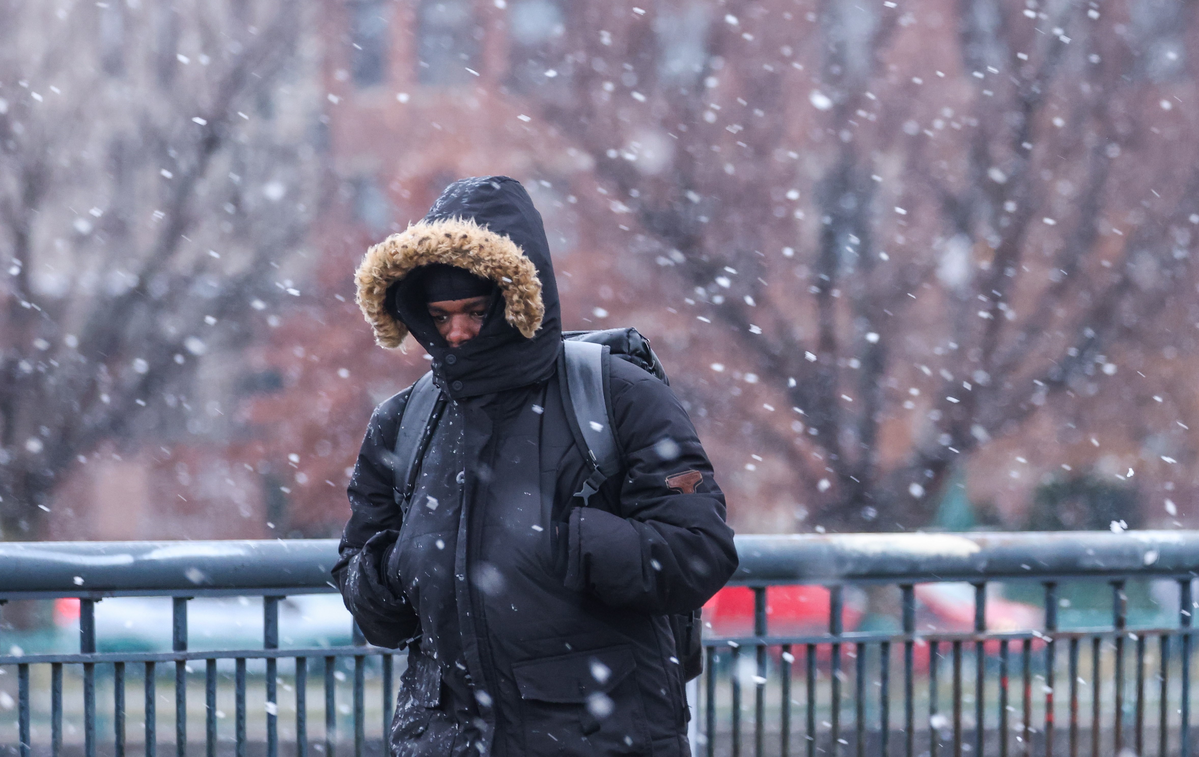
It’s beginning to look and feel a lot like winter here in the Greater Boston area! In fact, several communities saw snow (and rain), and there could be a few more flakes here and there before the day is done.
Central Massachusetts hit the jackpot with snow totals. A few areas saw up to 8-9 inches of snow! And while Logan Airport has only recorded a trace of snow, other communities in Greater Boston west of the city around the Interstate 495 corridor saw anywhere from a quarter of an inch of snow up to 4 inches. Even the South Shore saw up to an inch in spots.
As we continue moving through the day, a few more flakes could mix in. And it’s not out of the question for a snow squall to develop this afternoon in parts of our area. If it happens, it would be quick with a burst of snow, so stay alert.

Otherwise, expect partly sunny skies and mostly clear skies. High temperatures will be in the low 40s. Overnight temperatures will drop into the mid 20s.
Heads up! There could be some slick spots with any lingering moisture on the roads or sidewalks as air temperatures drop into the 20s, especially in some sheltered areas that might not get much wind.
Talking about the wind, gusts will begin picking up Thursday night into Friday. Gusts could be as high as 45-50 mph, especially in central Massachusetts and toward the Cape and the Islands where a wind advisory is posted until 10 p.m. Thursday.

Even for Greater Boston, we’ll have gusty winds into Friday that could lead to power outages. Highs will be near freezing! Yikes! The winds will make it feel like the single digits for a few areas by morning and the teens and 20s by afternoon. We’ll see mostly sunny skies.


Dry weather is expected Saturday with highs in the 30s. A few flurries or brief snow showers are possible on Sunday. Highs will be in the low 40s.


