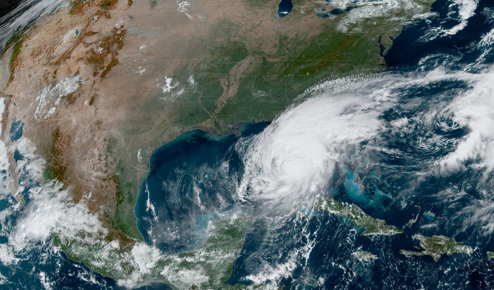
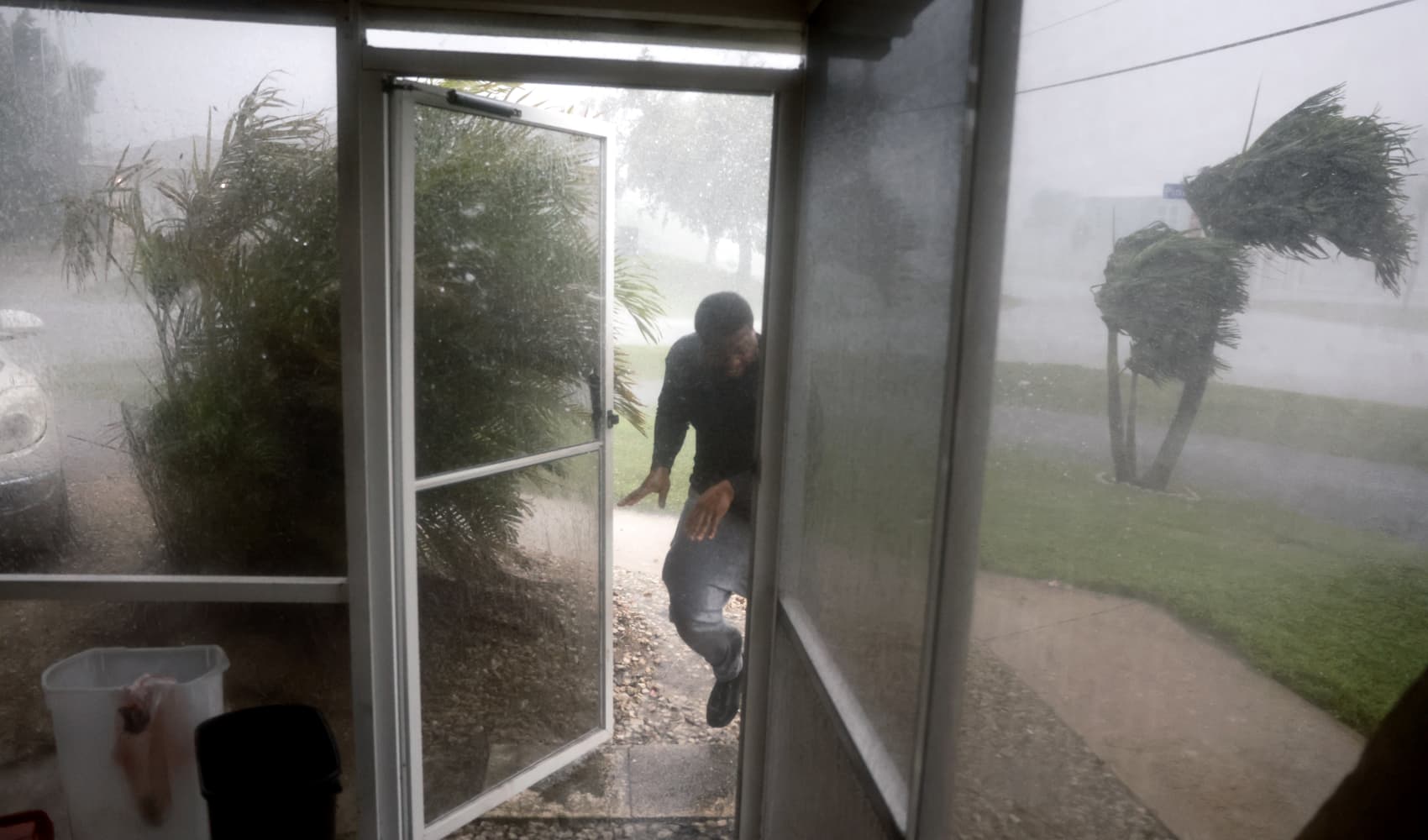
Hurricane Milton has hit Florida, moving onshore Wednesday night.

Milton made landfall as a major hurricane and poses significant threats to Florida’s west-central coast and southwest coast.

Storm surge is one of the biggest threats, as water inundation could reach 10-15 feet in spots such as Anna Maria Island and Boca Grande, with Tampa Bay potentially seeing a record surge at 8-12 feet.

Once onshore, central and northern Florida will see half a foot to a foot of rain, with isolated higher totals. That, in addition to the wind, will cause down trees and widespread power and cellular outages.
Live coverage of Hurricane Milton
Temperatures warming up locally
Locally, New England is in a quiet pattern, with a few showers possible overnight Wednesday to Thursday. By sunrise Thursday, the skies will begin clearing, making way for a pleasant and cool end to the week. Highs on Thursday will dip to the 50s but rebound quickly into Friday and Saturday.

By Saturday, the highs will be near 70 degrees with sunshine.

Next week, rain on Monday is possible before cooler air settles on Tuesday through Thursday with highs in the 50s and lows in the upper 30s and low 40s.


