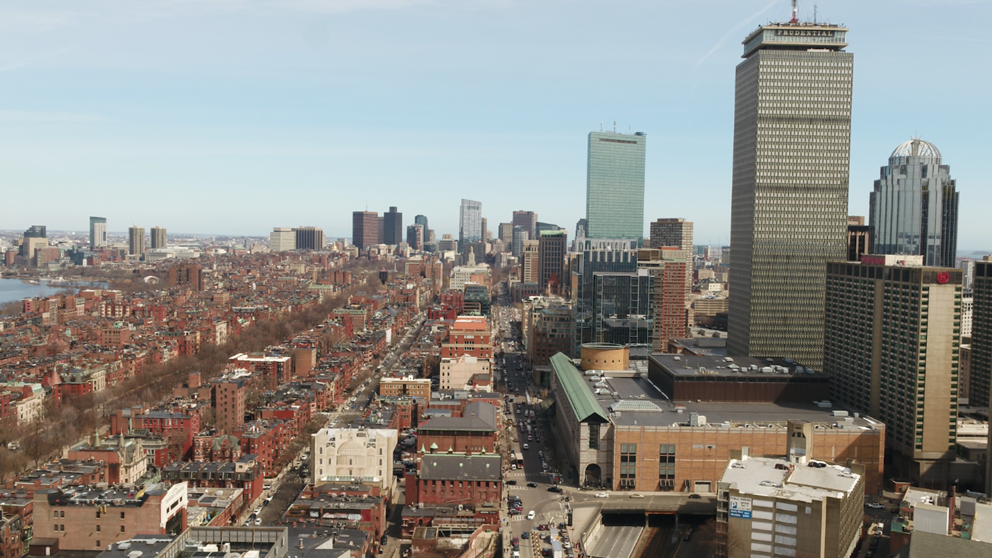
Smoke continues to drift under our inversion – an atmospheric ‘lid” that traps the smoke near the ground – creating an acrid smell and ribbon of haze in the skies over eastern Massachusetts. Like Monday, this will mix out with a developing breeze later Tuesday morning. And with more wind in the forecast over the next couple of days, we’re expecting this to be LESS of an issue for air quality.

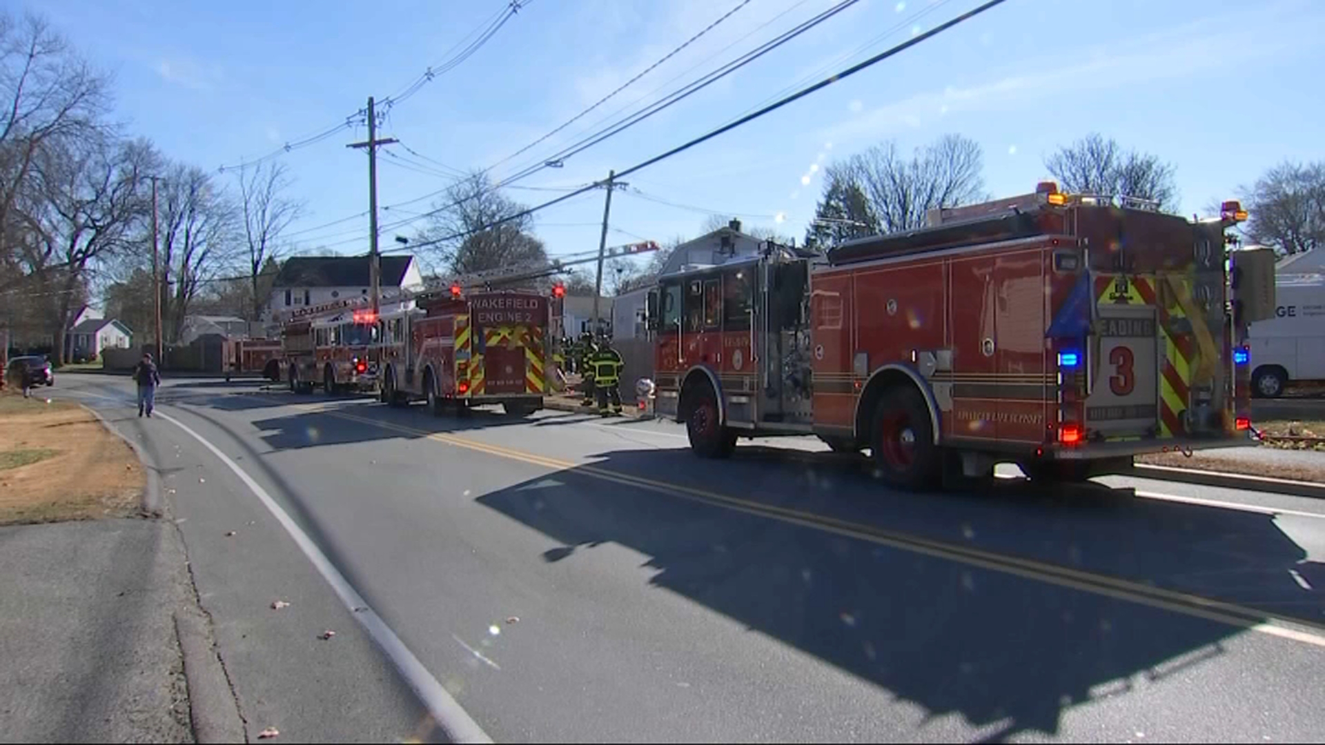
However, with wind in the forecast and paltry sum of rain Tuesday night, there will be more fire danger in the days ahead. Temperatures are on the rise too, thanks to another surge of warm air sweeping in from the Plains and Midwest. Highs leap from our feeble 50s on Tuesday to the 70s on Wednesday, Halloween, and Friday. Wow what a stretch!


Regarding that rain overnight, any wet weather is expected to be light, spotty, and last only a few hours. A quick exit before dawn Wednesday, then breaking clouds and soaring temperatures. Our next threat for rain will be a passing shower on Friday with another moisture-starved cold front.
This front promises a cooler weekend, but already we’re seeing signs of another significant warmup early next week.
Autumn warmth is not going quietly.


