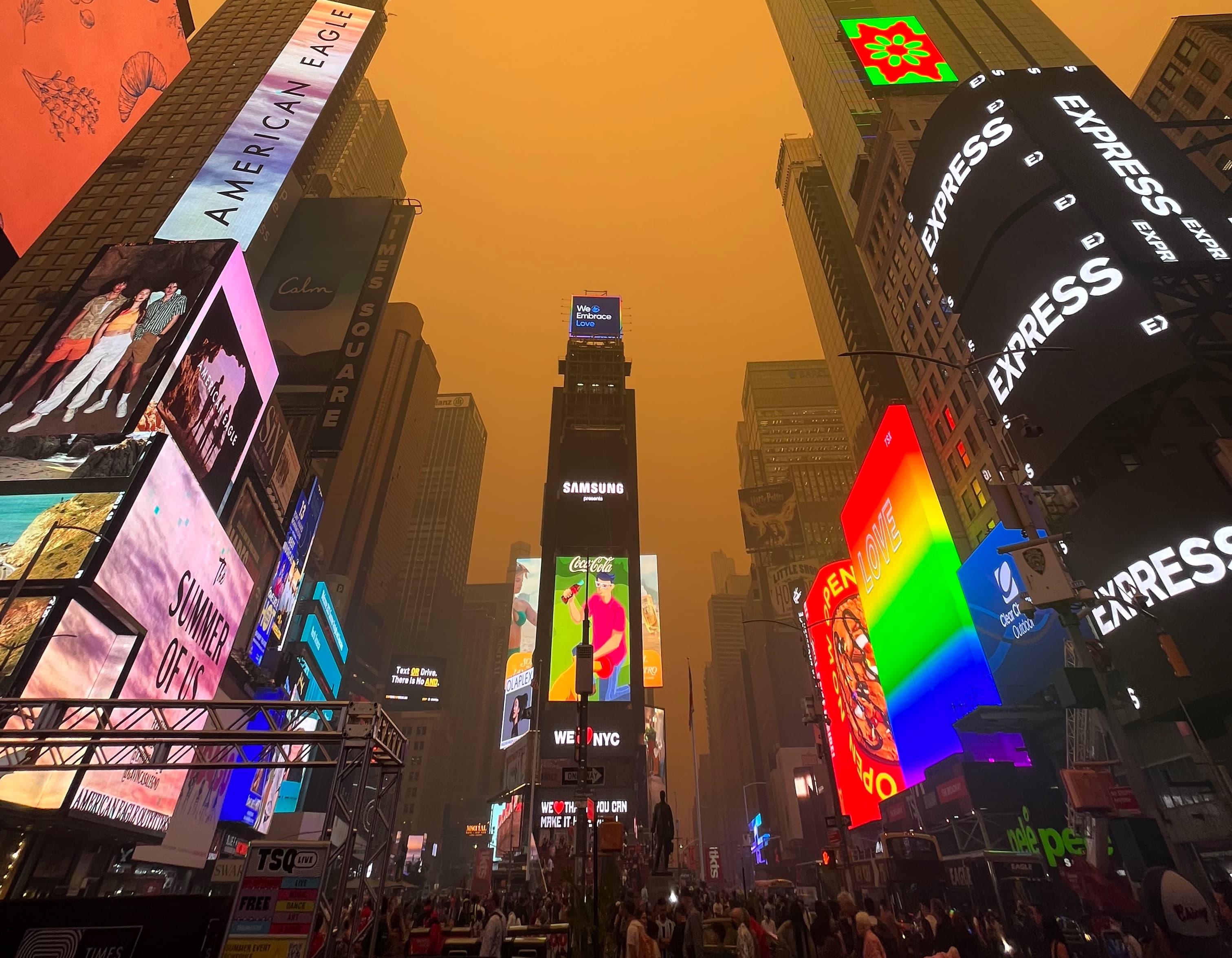
The extremely hazy skies over New York City and other Northeast cities this week have captivated the country as smoke from Canadian wildfires turned the air an ominous orange color.
Boston had its own smoky skies on Tuesday, but avoided the almost apocalyptic sights from New York City, where the air quality was rated as hazardous and temporarily the worst of any major city in the world.


The smoke is coming from Quebec and affected visibility enough in New York City, D.C., Philadelphia and Charlotte that it's affected flights into and out of their airports. Yet Boston, which is further north, hasn't had its air quality dip as much.
In fact, air quality in the city was good on Thursday, according to the EPA, while ranging from moderate to unhealthy for much of the rest of southern New England.
What spared Boston from the worst of the bad air? It really just boils down to the direction of the airflow.
The city has an area of low pressure overhead that acts as a steering mechanism in the atmosphere. It’s positioned directly over Maine. The counter-clockwise flow on the western periphery of the low pressure area brought a northerly wind in the upper levels of the atmosphere due southward.
So, while yes, we’re closer to the Quebec border in latitude, we weren’t closest to the plumes of smoke themselves, because:
a) it was funneled away from us
b) and the source region of the fires is closer in longitude.
And that low pressure isn’t a perfect circle, like you see on TV all the time — there are waves and deviations. The atmosphere is a fluid, and the smoke fits the container of that fluid.
There are deviations in the wind and it’s constantly changing. We tracked wildfire smoke overhead in April and May, which came from Western Canada but didn’t impact all states between New England and British Columbia.
By that same token, just because we’re in the clear today, doesn’t mean we will be tomorrow.


