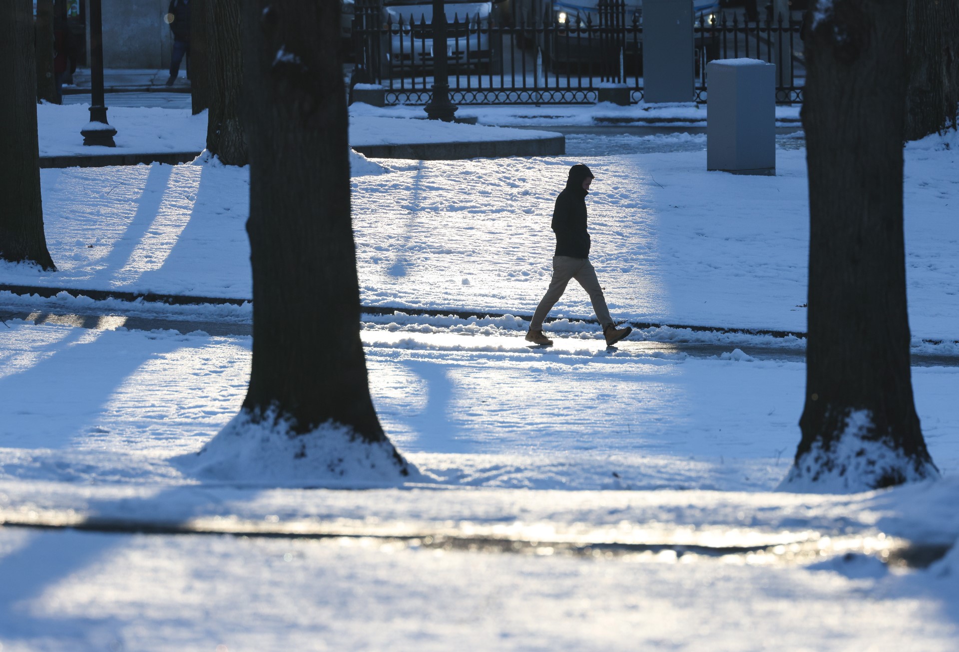
The season turns to winter this week, apropos since we started climatological (or meteorological) winter Sunday. This season runs from December to the end of February. Dec. 1 also marks the end of hurricane season. And folks across the southeast are saying good riddance.
There’s not much of a breeze, but what little wind we have this morning will make for some cold wind chills in the teens and 20s. It'll be the same for Tuesday. It stays dry, however, with sunshine and clouds blending through Tuesday.

We’ll sit in below normal temperatures for much of this week, apart from Thursday, when we reach our normal high of 45. But this is the day with the most action, too. We’ll wake to showers and some snow across central Massachusetts, then turn to sun and gusty winds. The final act will be an arctic frontal passage with a possible snow squalls. While many do not see snow with the first round, we could see snow all the way to the coast with the squalls.
Gusty winds will usher in the coldest air of the season by Thursday night. This will carry through the weekend. It’s an unexpectedly early blast of winter in December, after the third warmest December on record last year.

We’ll stay in an active pattern into next week, with more flakes possible by Sunday and another storm eying New England by Monday night next week.
Weather Stories
Stay warm!


