Knicks thriving where Celtics are faltering under pressure in playoffs
The Knicks’ perseverance could be the difference-maker in their Eastern Conference semifinals series vs. the Celtics.

The Knicks’ perseverance could be the difference-maker in their Eastern Conference semifinals series vs. the Celtics.

The MBTA’s new contactless payment system might be contributing to frequent fare evasion on the Green Line’s B Branch in Boston

Tania Fernandes Anderson, who pleaded guilty to federal corruption charges, told NBC10 Boston she plans to remain on the Boston City Council until the end of the fiscal year so her constituents are represented

The Celtics will have Kristaps Porzingis back in action but will be without Sam Hauser for Game 2 of their second-round series against the Knicks.

A lawsuit from Massachusetts Attorney General Andrea Joy Campbell and her counterparts in Connecticut, Indiana and Oklahoma says CVS has failed for years to offer Medicaid members the same discounts as customers who paid in cash

Some of us got a break from the rain Wednesday, but brace yourself — more wet weather is headed our way, with heavy, windswept rain on the way Friday and more continuing for part of the weekend. High temperatures hit the low to mid 70s Wednesday under partly sunny skies. But the entire day was not expected to be dry…

Eastern Washington head coach Aaron Best joined the Next Pats podcast to describe what makes Patriots UDFA WR Efton Chism III an exciting talent.

For the second straight game, the Celtics blew a 20-point lead against the Knicks on their home floor.


What lessons can the Celtics take from the Pacers’ wild comeback against the Cavs on Tuesday? Payton Pritchard shared some interesting insights.

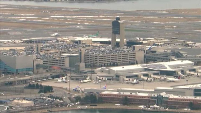
Flights were grounded at Boston Logan International Airport Wednesday afternoon after an issue with a landing plane that had to be towed from a runway, officials said.

A young child died after going into cardiac arrest in Boston’s Mattapan neighborhood on Tuesday, police said Wednesday, as they investigated what happened.

Massachusetts will be home to a new health care accelerator, run by the largest medical center in the Middle East.

Is Game 2 against the Knicks a must-win for the Celtics? Here’s what Payton Pritchard said after shootaround.

A crash between a vehicle and a bicycle closed traffic in Milton on Wednesday afternoon, Massachusetts State Police said.