Severe thunderstorm and flash flood warnings were issued for parts of New England Friday but have since expired. Another round of severe weather is expected Saturday and again Sunday.
Get all severe weather alerts for your area here, and track live radar below:
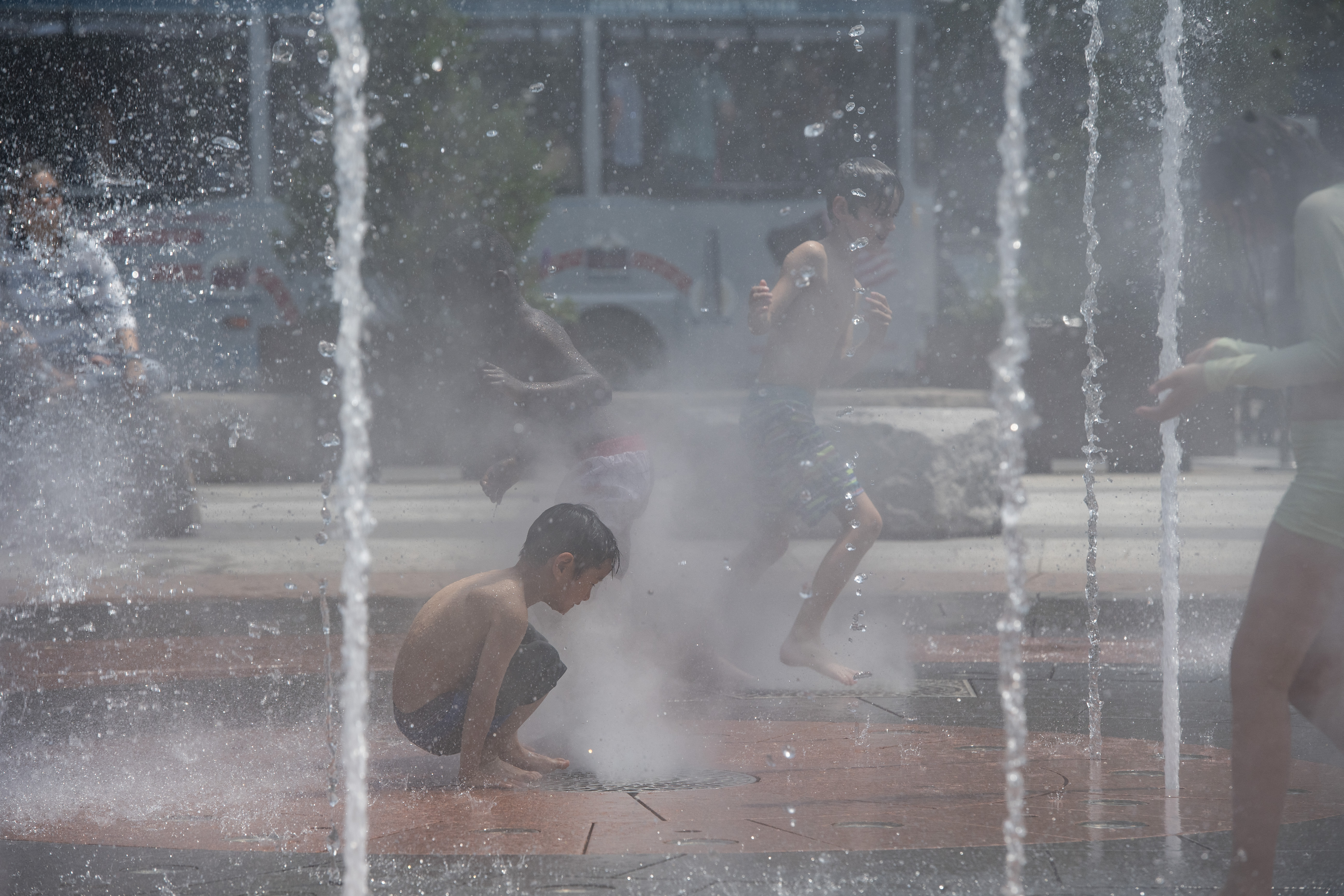
The dangerous heat is gone, but it remains really humid. High temperatures sank back to reality as onshore breezes and a cooler airmass settle in. This kept away any storm development until later. We peaked near 80 around parade time, then fell to the mid-70s late day.


The Celtics' parade was fine and dry. In fact, temperatures were almost perfect to celebrate Banner 18!
As the cooler air moves back to western Massachusetts this afternoon, it triggered thunderstorms. These then turn on us in eastern Massachusetts as they come out of the Worcester Hills and southern New Hampshire.

The storms across western Massachusetts, Connecticut and Rhode Island that develop could become severe due to damaging wind and hail. Heavy rain and lightning are also threats from any storm that pops. These storms fizzle around sunset.
Saturday could play out the same, with thunder erupting in the afternoon as the aforementioned front stalls overhead. Ditto for Sunday, but the storms may wait until late afternoon or evening to form.
In fact, we issued a First Alert for the possibility of strong to severe storms developing in Greater Boston Saturday afternoon/evening and again on Sunday evening.
Each batch will have the potential for gusty winds and heavy rain.


But the entire weekend will not be a washout. In fact, we’re not expecting continuous rain all day Saturday or Sunday. Still, have a plan B for any outdoor activities you might have planned.
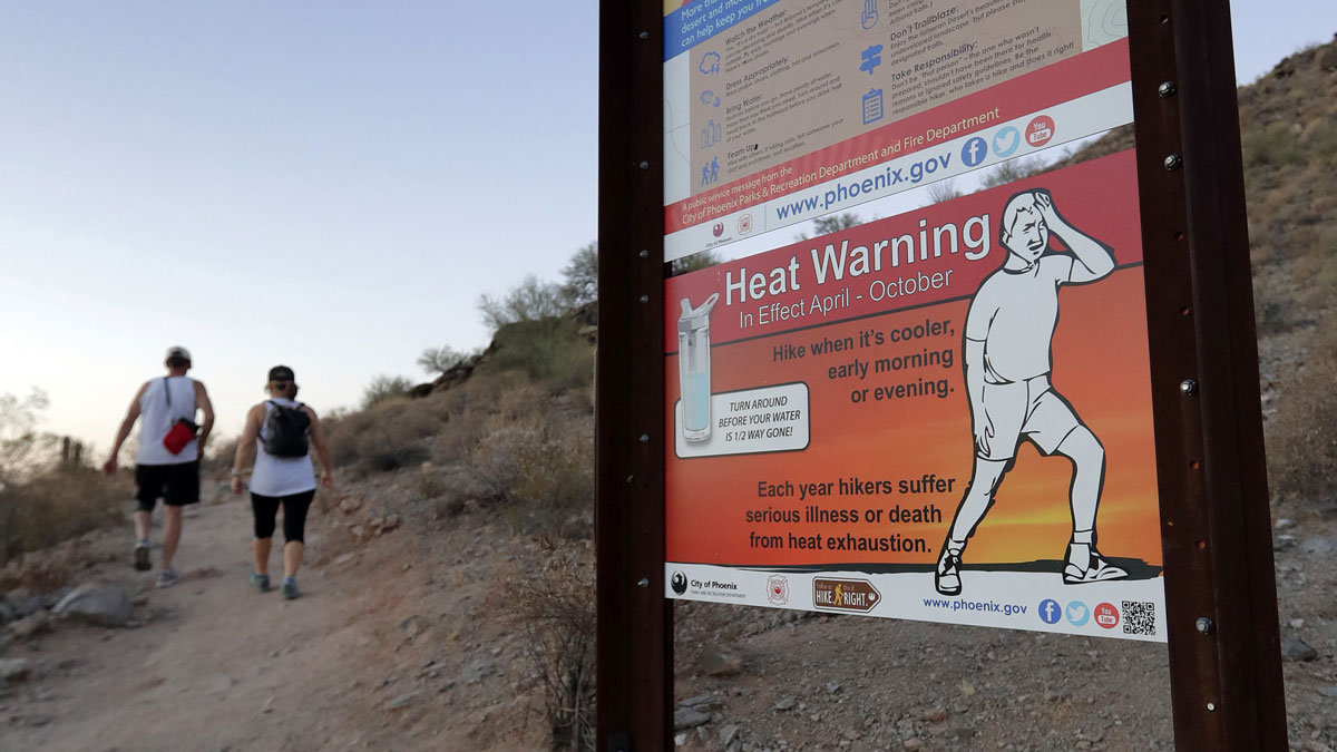
Heat will also return on Sunday, but not to the degree that we just saw. Mid and upper 80s will fit the bill.
We're holding out hope for some more refreshing air to arrive late next week.