
The Latest
-

The 30+ absolute best deals to shop
Promoted By NBC Select Deals -

Falling temps, ice accumulation possible in parts of Mass. through Sunday
While it’s not washed out every minute of the weekend, it’s certainly not a stellar forecast. Showers will pester us through mid-morning Saturday, with mist, fog, and drizzle taking up in the afternoon. There will be pauses in the rain from time to time, but the bigger story will the falling temperatures and the possibility of ice in Greater...... -

Can Diggs help Drake Maye make the Josh Allen leap with Patriots?
Stefon Diggs’ comparison of Drake Maye to Josh Allen carries a bit more weight considering his impressive history with the Bills quarterback.
-

Set your alarm clocks for the partial solar eclipse Saturday morning!
Set your alarm clocks on Saturday morning! A few folks could get lucky enough to catch a glimpse of a partial solar eclipse, but Mother Nature might not cooperate. A solar eclipse occurs when the moon passes between Earth and the sun. Unlike some solar eclipses, where the moon blocks the entire disk of the sun, this go-round Saturday, the…... -

How Stefon Diggs plans to channel his competitive fire in New England
Stefon Diggs plays with an edge that has caused issues in the past. But the star wideout is taking a new approach to New England, writes Phil Perry.
-

Inside Pritchard's rise with Celtics and the trade that never happened
Payton Pritchard has come a long way from wanting out of Boston. Chris Forsberg details the Celtics guard’s fascinating journey from DNP to Sixth Man favorite.
-

Two seasons in one day? 70s for some Saturday, snow for others
Buckle up! We’re in for a quite a roller coaster ride with our temperatures this weekend here in New England. And to add insult to injury, Mother Nature will deliver a wintry mix for some, too. A frontal system will stall across Massachusetts on Saturday, giving way to two different seasons in just one day! Get this! High temperatures will lik... -

Perry: Why Diggs' addition shouldn't rule out Pats drafting Hunter
Does the Patriots signing Stefon Diggs make it less likely they’ll draft Travis Hunter at No. 4 overall? Phil Perry doesn’t believe so.
-

Inspector general says Mass. pot regulators failed to collect $1.75M in fees
Inspector general says pot regulators failed to collect $1.75M in fees
-

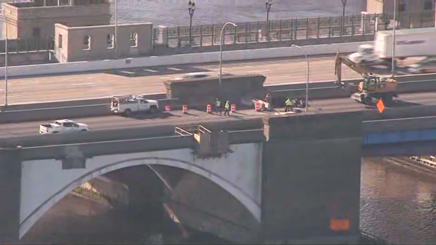
Three workers killed in crash on I-91 in West Springfield
Authorities say three workers replacing a damaged guardrail on Interstate 91 in West Springfield, Massachusetts, were killed in a crash early Friday morning. According to WWLP, the ramp for Exit 10A on I-91 north in West Springfield was closed Friday morning as a result of the crash. The right lane and breakdown lane was also closed for a time but&... -

Best fits for Patriots at tight end in 2025 NFL Draft
Which tight ends make the most sense for the Patriots in the 2025 NFL Draft? Phil Perry shares his list.
-

Boston law firm targeted by latest Trump executive order
Boston law firm targeted by latest Trump executive order
-

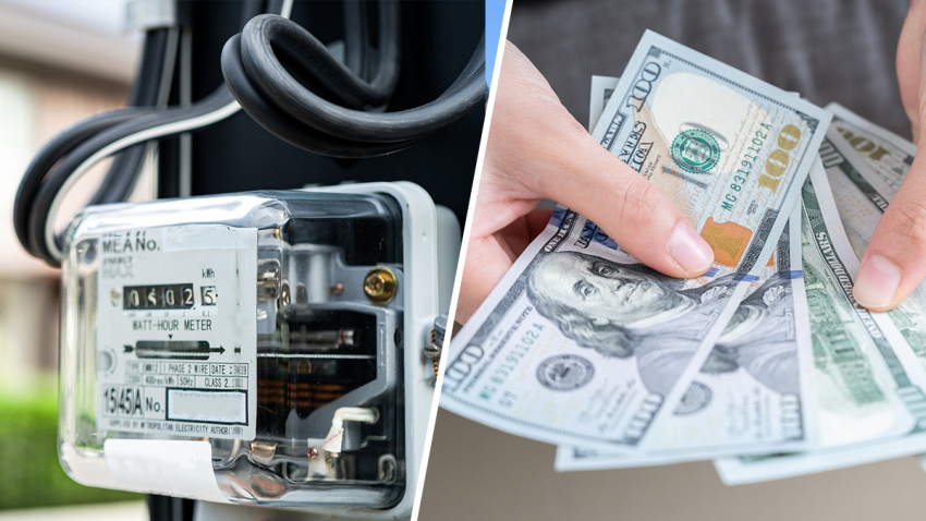
Wholesale power prices in New England rose 300% in February
Ratepayers know too well that February was a rough month for retail utility bills in New England, marked by soaring costs that threw household and business budgets out of whack. Regional grid operator ISO-New England put a number on the pain for the wholesale side of the picture Wednesday, reporting that the average real-time electricity price...


