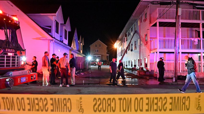
Rhode Island home struck by lightning
A home in North Smithfield, Rhode Island, was struck by lightning during severe storms Friday afternoon.

A home in North Smithfield, Rhode Island, was struck by lightning during severe storms Friday afternoon.

Former Patriots third-string QB Joe Milton threw a subtle jab at New England while praising his Cowboys teammate Dak Prescott.

Red Sox infielder Marcelo Mayer expressed his frustration after being placed on the injured list with a wrist sprain.

Patriots edge rusher Keion White’s mercurial personality was on display after Friday’s training camp practice. Tom E. Curran and Phil Perry share their takeaways.

A Massachusetts State Police trooper who was critically injured in a hit-and-run in Revere last month remains in intensive care 33 days later, prosecutors say.

The owner of Gabriel House, the Fall River, Massachusetts, assisted-living facility where 10 people died in a fire earlier this month, has released a new direct statement on what happened.

Market Basket’s board remains hopeful for “a constructive resolution” to the corporate standoff, it said Friday, revealing an upcoming mediation session with CEO Arthur T. Demoulas.

We’re tracking dangerous heat and strong storms in the Boston area before cooler weather arrives, just in time for the weekend.

After an offseason of change, it’s no longer championship or bust in Boston. And for one season, that might be a good thing, writes Chris Forsberg.

The Trump administration’s settlement with Columbia clarifies the stakes for anyone weighing whether to fight its demands or concede.

Market Basket has responded to an open letter by the mayor of Methuen, Massachusetts, that urged the company to bring back CEO Arthur T. Demoulas, who remains on leave.

The Patriots plan to have a conversation about signing Christian Wilkins after his surprise release from the Raiders, per head coach Mike Vrabel.