Cloudy afternoon ahead form much of New England with increasing humidity through this evening. A bit unsettled to the north with the shower risk staying confined on a line from western MA into Vermont, New Hampshire, and Maine while much of the day with southern New England stays on the dry side.
Temperatures in the mid to upper 70s south, upper 60s to low 70s north.

Cloudy and muggy overnight tonight with scattered showers and downpours developing mainly after midnight, a few rumbles of thunder as well, but not expecting any severe storms. Temperatures in the upper 60s to around 70.
Get New England news, weather forecasts and entertainment stories to your inbox. Sign up for NECN newsletters.
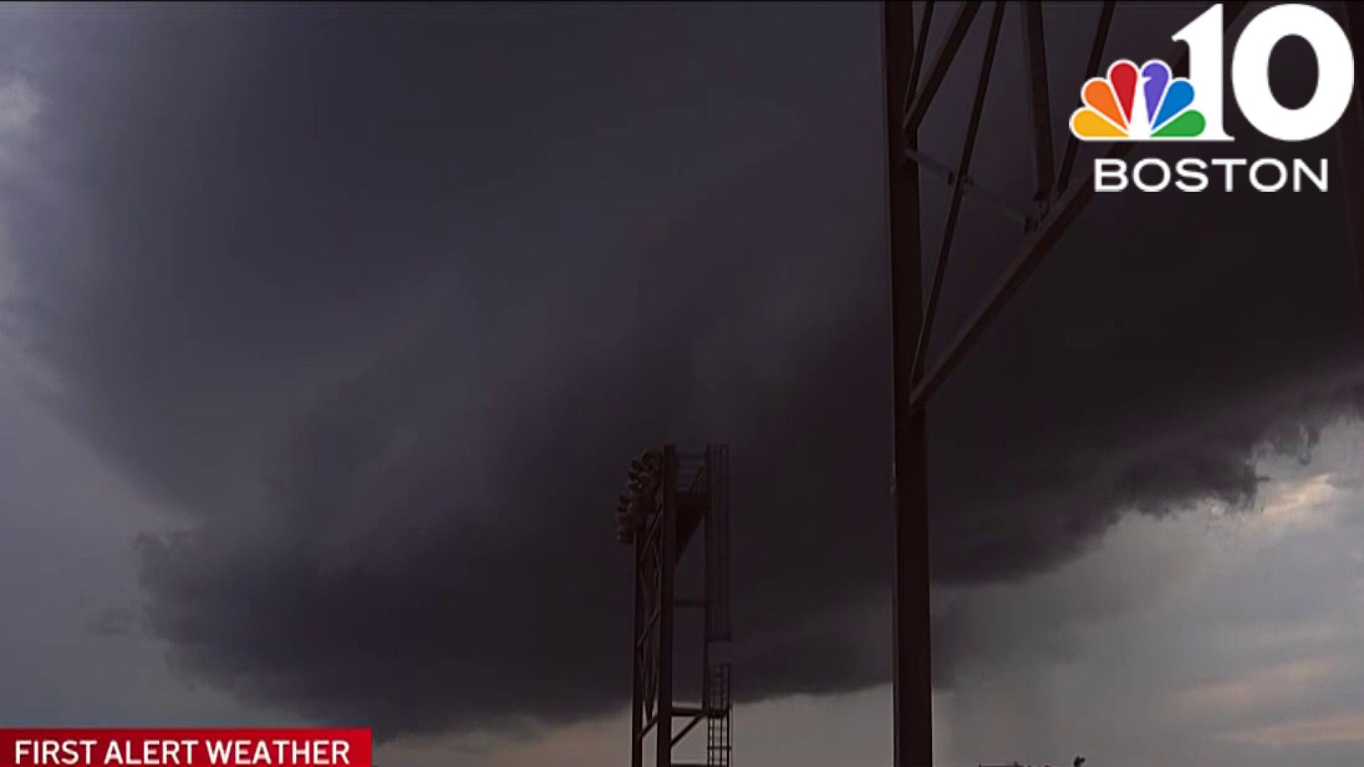
Hot and humid Sunday with some morning showers and thunderstorms possible. Our focus will be between the hours of 12pm and 8pm as a cold front slices through the region spawning up a line of thunderstorms which have the potential to be strong to severe.

The main threat with these storms is damaging wind and hail as well the potential for localized flooding which has prompted us to issue a First Alert for Sunday. Things settle down Sunday night with cooler temperatures, in the 70s and drier air moving in to start the new work week, though an isolated shower isn’t out of the question Monday afternoon.
As we peek into the rest of the Holiday week, we stay on the seasonable side Tuesday and Wednesday with a warmer temperatures and the risk for afternoon showers and storms Independence Day…still some time to tweak that portion of the forecast!

Have a great Saturday!