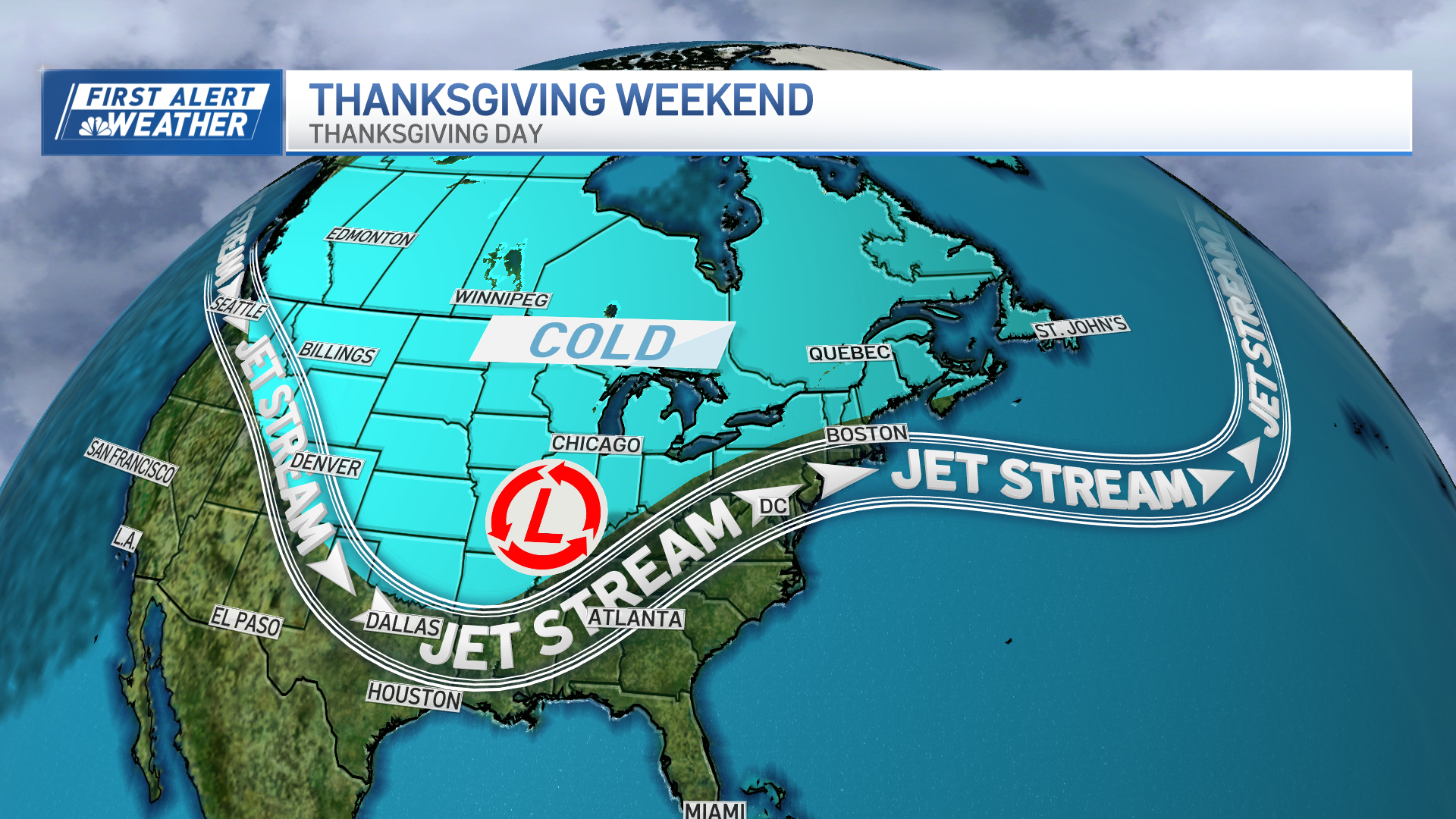
The intense upper level atmospheric energy that’s been driving our stormy weather of the last couple of days is poised to move over New England Friday afternoon.
The passage of our storm center – an intense one with a plummeting barometer, indicating a well-developed storm structure – will mean intense weather across New England Friday afternoon, but the type of intense weather will be vastly different across the six states.
In the North Country, cold air pressing south out of Canada will change a snow and sleet mixture to heavy snow in northern Vermont, the Great North Woods of New Hampshire and northwestern to northern Maine, with a foot of new snow on Friday alone in these spots.
Farther south in central Vermont to the White Mountains and central Maine, several new inches are expected but only minor accumulations are expected farther south where sleet, snow and freezing rain mix together for continued icy back roads.
Southern New England started with icy roads Friday, mostly on back roads near and outside of Route 495 in eastern Massachusetts points west and north. The approaching storm center Friday afternoon will drag a surge of southwesterly wind into some of southern New England ahead of the center of low pressure, with winds shifting to blow from the southwest and rapidly increasing Friday afternoon from roughly the Boston Metro to Providence Metro to eastern Connecticut points southeast.
By late Friday afternoon, winds will gust 50 to 70 mph, downing tree limbs, trees and taking our power for some in southeastern New England. It’s possible a few locations even gust higher than 70 mph by the time Friday evening is over! These damaging winds will decrease below damaging levels by around 9 p.m. and while windy conditions persist overnight, new damage will be less likely.
The new Friday night wind will be a cold wind for one and all, clearing the sky but dropping temperatures and leaving strong enough wind gusts for some possible ski lift holds Saturday morning, particularly on summit chairlifts.
Weather Stories
That said, both Saturday and Sunday – which will be decidedly less windy – will bring building afternoon clouds with a chance of flurries, but nothing substantial.
A couple of disturbances early next week bring the chance for rain showers south and snow showers north, with most of the week delivering high temperatures in the 40s for central and southern New England and 30s north before slightly cooler and drier air ends the week in our exclusive First Alert 10-day forecast.


