Priced out: How Boston's college housing crunch displaces longtime residents
Affordable housing advocacy groups say competition from college students can leave local residents priced out of their neighborhoods and unable to afford rising rent
Affordable housing advocacy groups say competition from college students can leave local residents priced out of their neighborhoods and unable to afford rising rent

The Celtics and Knicks are set for their first postseason series since 2013 and their 16th in NBA history. Here’s a look back at the history between the archrivals.
Which UDFAs have the best chance to make the team? Phil Perry tackles that question and more in his post-NFL Draft Patriots Mailbag.

We’re tracking rain and potential strong storms for the weekend. Yup, another weekend in a row with rain in the forecast here in Boston.

Big games for Jalen Brunson don’t always equate to wins, and that’s important for the Celtics to remember in this second-round series.

A proposed 70-unit development in South Boston without dedicated parking spaces for residents could have been a model for transit-oriented housing in the city.


This Celtics team may look different in the fall, and that’s all the more reason to live in the moment of their playoff journey, writes Chris Forsberg.

The Karen Read trial is back on Friday after a rare off day, with key prosecution witness Jennifer McCabe back on the witness stand for her third day of testimony.

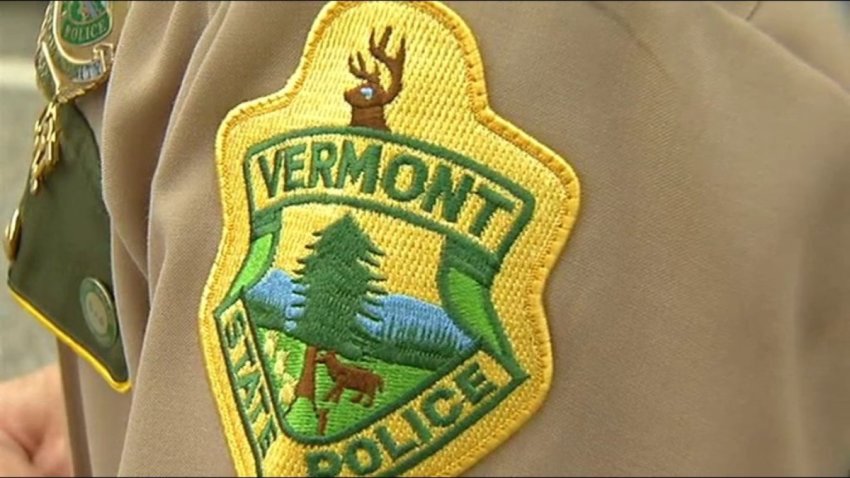
Major changes were announced Thursday to the Massachusetts State Police Academy program, about eight months after the tragic death of 25-year-old Enrique Delgado Garcia.
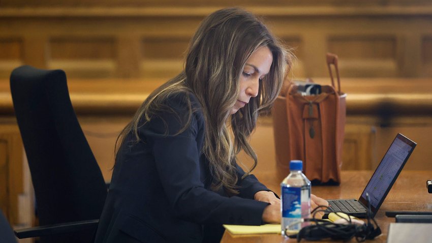
Watch Sue O’Connell explain about how stuffy and tight the Karen Read courtroom is.

Police in Bridgewater, Massachusetts, are thanking the public and nearby police departments for helping them locate a missing 13-year-old girl.