
The Latest
-

Perry: Vrabel must promise ‘respectability' from Pats in 2025
Phil Perry explains what he’d like to hear from Mike Vrabel when the Patriots head coach addresses the media on Tuesday morning.
-

The Case For Will Campbell: Protecting Maye is Patriots' top priority
Should the Patriots really use the No. 4 pick on an offensive tackle? Phil Perry explains why LSU’s Will Campbell is the smart play for New England.
-

Rideshare driver accused of rape during late-night drive from South Boston
A Boston rideshare driver was arrested on a rape charge Sunday over allegations of a sexual assault taking place during a ride hours earlier, police said.
-

Man charged with rape of developmentally delayed woman at Norwell adult day care
A man is accused of raping a developmentally delayed 62-year-old woman at an adult day care in Norwell, Massachusetts. Chidiebiere Fred Onyebiri, a 39-year-old Brockton man, was arraigned Wednesday in Hingham District Court on charges of rape, indecent assault and battery on a person 14 or over and indecent assault and battery on a person over 60 a... -

Red Sox positional preview: Devers drama clouds corner infield situation
How will the Red Sox’ complicated corner infield situation play out in 2025? We assess each first baseman and third baseman on the current roster.
-

Break-in suspect found shot in Roxbury
A person found shot when police responded to a break-in in the city’s Roxbury neighborhood Sunday was later determined to be a suspect in that case, according to police. Officers responded to a some on Dabney Street for a reported break-in around 10 p.m. Sunday. They came across two people wearing masks and holding a black duffle bag several.... -

Karen Read case: Federal investigation ends with no charges filed, source says
The federal investigation into the handling of the Karen Read case has ended, and no charges are being filed against law enforcement, a source with direct knowledge tells NBC10 Boston.
-

Former All-Pro CB ‘can't wait' to see Christian Gonzalez's career unfold
Former NFL star Patrick Peterson explains what makes Patriots cornerback Christian Gonzalez so valuable to New England’s defense.
-

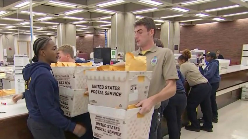
Investigation finds ‘serious problems' in how Boston administered 2024 election
There were “serious problems” with how Boston administered its last election in November, an investigation found, leading Massachusetts’ secretary of state to order reform at the Boston Election Commission.
-

Fire that destroyed Lynn church likely caused by gas stove malfunction, officials say
A massive blaze that sent towering flames above Lynn, Massachusetts, late Friday, destroying a church and damaging a home was accidental, fire investigators said Monday.
-

Spring Storylines: Predicting how the Red Sox' 2025 season will end
In the final installment of our “Spring Storylines” series, we share our predictions for how the Red Sox’ 2025 season will end.
-

Iconic rap group Wu-Tang Clan reveals final North American tour, with Boston stop
Wu-Tang Clan will play their Final Chamber tour in summer 2025, with Boston among the stops. Here’s when they’ll play, and when tickets go on sale.
-

How strong is WR class in 2025 draft? NFL insiders share latest info
It’s not a good year to be looking for a stud wide receiver in the NFL Draft, which is bad news for the Patriots.


