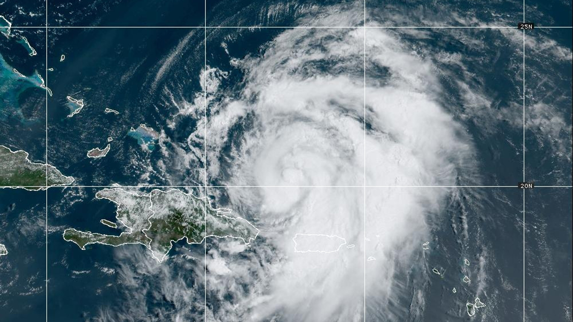
Hurricane Ernesto made landfall on the Island of Bermuda Saturday and will continue to weaken as it tracks well out to sea over the next several days.
Though the storm passes well east and southeast of New England, Ernesto will still impact the region with high surf and dangerous rip currents through Sunday night.

A wedge of high pressure will keep us on the dry side this afternoon with comfortable temperatures. The trade off will be a lot of clouds around as well as a smokey haze as smoke from western and Canadian wildfires continues to spill into New England in the mid-levels of the atmosphere.
A spot shower or sprinkle can’t be ruled out early this afternoon, but most of us stay dry. Highs top off in the mid to upper 70s coast, low 80s across the interior.

A frontal boundary to the west will slowly approach New England overnight tonight with the risk for a passing shower or sprinkle. Lows in the 60s with some patch fog developing.
We’ll keep the shower threat in the forecast Sunday morning into the afternoon, especially across the interior with a blend of clouds and sun. A smokey haze is expected once again as we continue to deal with smoke in the mid-levels of the atmosphere. Highs mid to upper 70s coast, low 80s inland.

Widspread showers and thunderstorms move in Sunday night and stick around throughout the day Monday. Improving conditions Tuesday with an Autumn like feel through the middle of next week.
Have a great Saturday!