Sunday started mostly cloudy, with colder temperatures in the lower 20s, and by early afternoon rain, snow and a mix arrive.
Expect snow to fall north and west of Interstate 495, and for most of New Hampshire, Vermont and Maine. Snow continues overnight North and West, while rain falls for Boston and southern New England.
Highs today are in the upper 30s. Lows will range from the upper 20s north to the mid-30s south.
Winter Storm Warnings Issued in Mass, NH
Weather Stories
Winter Storm Warnings are in effect for large portions of Massachusetts, Vermont, New Hampshire and Maine.
We have issued a First Alert for Monday as rain in Southern New England transitions to snow throughout the day. Snow will still be falling, and keep falling in Northern New England throughout the day.
Click here for the latest weather alerts for New England
How Much Snow Will We Get?
Totals range from as much as 8-12” in the warning areas, to as little as 1-2” for the Boston, Providence, and Hartford areas.
Worcester County could see as much as 6-8" in the higher elevations.
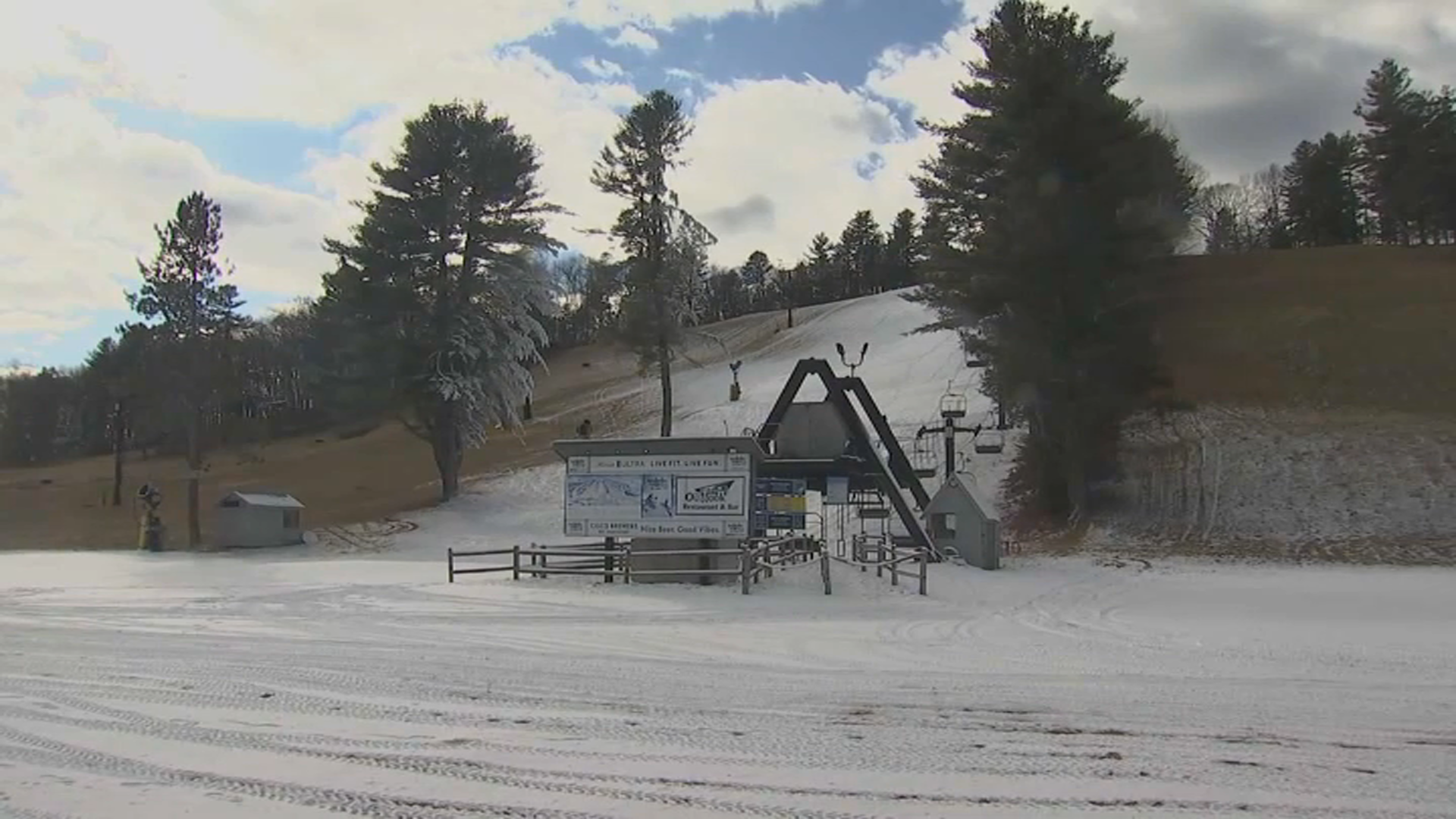
Recently, Massachusetts has had a snowfall drought as Boston and Worcester have been way below average in snowfall.
When Does the Storm End?
The storm will wind down by Monday evening, and skies slowly clear heading into Tuesday.
Tuesday is mostly sunny with a seasonable chill. Highs in the upper 30s.
First Alert for Wednesday Storm
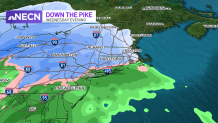
Another First Alert has been issued for Wednesday. Snow or a mix of rain and snow overspread the area by early evening. This will quickly transition to rain from south to north, but could cause a hazardous evening commute before doing so.
Highs start in the 30s but rise overnight into Thursday.
Thursday starts with rain heavy at times for almost all of New England, high numbers are near 50 in Southern New England, and in the 40s and upper 30s well north.


