‘So cool to be in the video forever': Ipswich excited by Ed Sheeran's new release
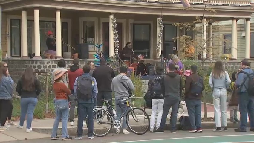
Grammy winning musician Ed Sheeran opened a pop-up pub in Ipswich, Massachusetts, to record the music video “Old Phone”
Grammy winning musician Ed Sheeran opened a pop-up pub in Ipswich, Massachusetts, to record the music video “Old Phone”

Phil Perry opens the notebook and shares his biggest takeaways from the first day of Patriots rookie minicamp.


Craig Breslow and Alex Cora detailed conversations with Rafael Devers after the slugger blasted Breslow and the team for asking him to move to first base.

Patriots third-round pick Jared Wilson could get reps at all three interior offensive line positions in rookie minicamp.

Before becoming Pope Leo XIV, some of Robert Francis Prevost’s caused concern, according to a SNAP leader
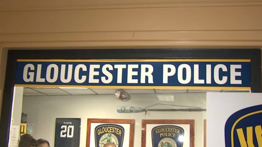
The U.S. Attorney’s office in Massachusetts said 34-year-old Alexander Aiello of the Gloucester Police Department was arrested after a search of his devices

Some veteran Red Sox players are supposedly unhappy with Rafael Devers’ refusal to play first base and his public complaints about chief baseball officer Craig Breslow.

NBC10 Boston teamed up with BU students to look at how Trump administration immigration policies could have on the international student population.
The Patriots’ new defensive coordinator, Terrell Williams, is absent from rookie minicamp this week. Here are the latest updates.

The Celtics have chosen the hard path in the second round. Chris Forsberg details how Boston can bounce back vs. the Knicks ahead of Game 3.
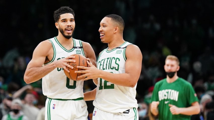
Ex-Celtic Grant Williams weighed in with his thoughts on the recent criticisms of his former teammates Jayson Tatum and Jaylen Brown.

A local group of nonprofit community grocers that help provide food to those in need is ceasing operations.
Can the Celtics mount a successful comeback vs. the Knicks? Here’s what NBA playoff history suggests.

Jayson Tatum has given the Celtics great road playoff performances when they’ve needed it most. Game 3 vs. Knicks could be next.