
The Latest
-

Three men charged with kidnapping, robbing 14-year-old on Orange Line train
Three men are facing kidnapping and robbery charges after preventing a 14-year-old from exiting an MBTA train, assaulting him and stealing his cell phone last week, authorities say. Michael Cole, 23, of Boston, Derrick Eures, 25, of Dedham, and Nathan Moorewhite Jr., 19, of Dorchester, are all charged with kidnapping, armed and masked robbery and d... -

17-year-old charged in murder of 20-year-old family member in Fall River
A 17-year-old has been charged with murder in the death of a 20-year-old relative after a shooting in Fall River, Massachusetts, Saturday afternoon.
-

4 firefighters hurt during hours-long response at Boston trash facility fire
A massive fire has been burning for hours at a Roxbury trash transfer station on Sunday and Boston fire officials say they expect to remain on scene throughout the night. Firefighters were first called to the facility on Gerard Street around 8:30 a.m. “The trash is so big, it’s piled in there and the fire was underneath all the...
-

Boston Police issue spiked drink warning ahead of St. Patrick's Day
Officials are urging people to beware of drink spiking and other potentially dangerous activity
-

South Boston hosts St. Patrick's Day Parade; police seize dozens of jugs of booze
Hundreds of thousands of people are expected to attend Sunday’s St. Patrick’s Day Parade in South Boston.
-

Payton Pritchard makes NBA history in Celtics' win over Nets
Celtics guard Payton Pritchard broke the NBA record for most 3-pointers off the bench in a single season.
-

Celtics-Nets recap: Porzingis powers C's to victory in return
Kristaps Porzingis delivered a game-high 24 points to lead the Celtics over the Nets in his first game since Feb. 26.
-

Man killed in Fall River shooting; family member in custody
Police in Fall River, Massachusetts, were investigating a shooting Saturday afternoon.
-

The mission to rescue Suni Williams and Butch Wilmore from space is underway
After being postponed, NASA’s SpaceX Crew-10 had a successful launch Friday night. The ship will return with Sunita Williams and Butch Wilmore.
-

Boston NWSL team to shed BOS Nation nickname
Before playing its first match, Boston’s new National Women’s Soccer League team is changing its name
-

Mass. health officials announce Legionnaires' disease case at Needham hospital
The Massachusetts Department of Public Health said a patient at Beth Israel Deaconess Hospital in Needham has a “case of healthcare associated Legionnaires’ disease”
-

Mazzulla praises ‘overlooked' Holiday after big night vs. Heat
Celtics coach Joe Mazzulla said after Friday’s win over the Heat that Jrue Holiday’s impact is “overlooked.”
-

Fire breaks out at Gloucester Market Basket
The fire was knocked out by around 9 p.m., according to fire officials in Gloucester, Massachusetts
-

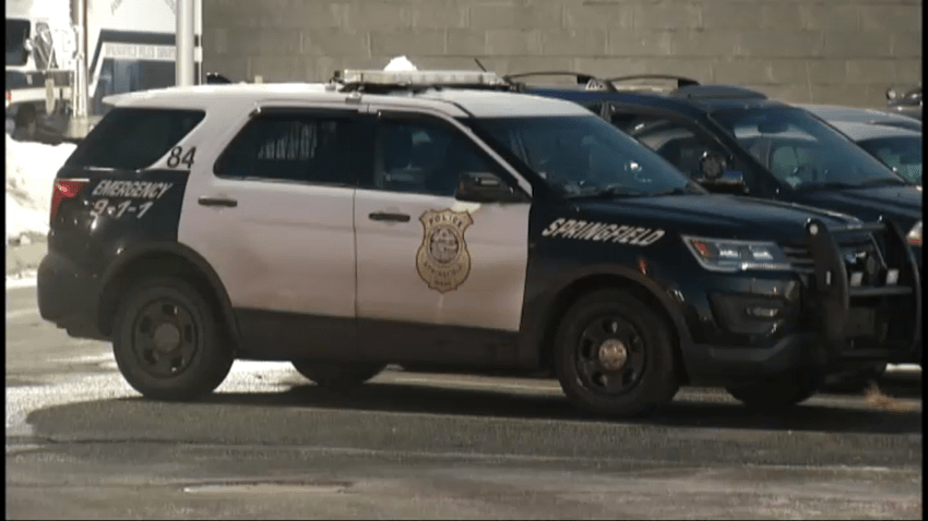
Springfield police say missing child has been found
Police in Springfield, Massachusetts, say a missing 12-year-old has been located. The Springfield Police Department initially announced the disappearance around 8:30 p.m. Shortly after 10, authorities said he had been found.


