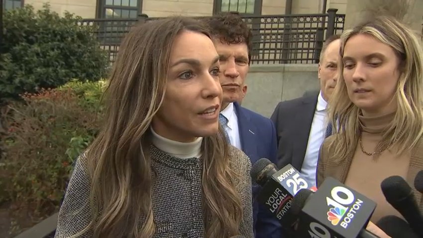
forecast

Heavy rain expected from western Mass. into Vermont due to Debby remnants

The heaviest axis of rain, according to the latest model guidance, will be over western Massachusetts into Vermont where upwards of 4 inches of rain may fall

NBC Universal, Inc.

Clouds will slowly clear Wednesday afternoon with any lingering showers over southeastern Massachusetts and the Cape quickly moving offshore. 

High pressure to the north will keep our wind onshore, which will keep much of the area on the cool side for this time of year, a pleasant break from the heat and humidity we've experienced much of the summer.

Highs reach the upper 60s coast, low to mid-70s inland southern New England, mid to upper 70s northern New England.

The big story is Debby, which is still classified as a tropical storm due to its maximum sustained winds in the 40 to 45 miles per hour range.

In terms of wind, it is expected to weaken but residents across the eastern United States shouldn't let their guard down since Debby will produce flooding rains along its forecasted track, which brings it through upstate New York and northern Vermont by Saturday morning. 

As of now, it looks like much of the eastern half of New England will be spared from Debby's heaviest rain, but a few embedded downpours may cause some localized flooding Friday into early Saturday morning there.

The heaviest axis of rain, according to the latest model guidance, will be over western Massachusetts into Vermont where upwards of 4 inches of rain may fall, perhaps a bit more locally, which brings up flooding concerns in areas that have unfortunately seen their fair share of rain this summer.

There is also the possibility that a brief tornado may spin-up in some of the heavier showers, but these would be isolated at best and we're not expecting a widespread outbreak.

We'll continue to monitor Debby over the next couple days.

Contact Us