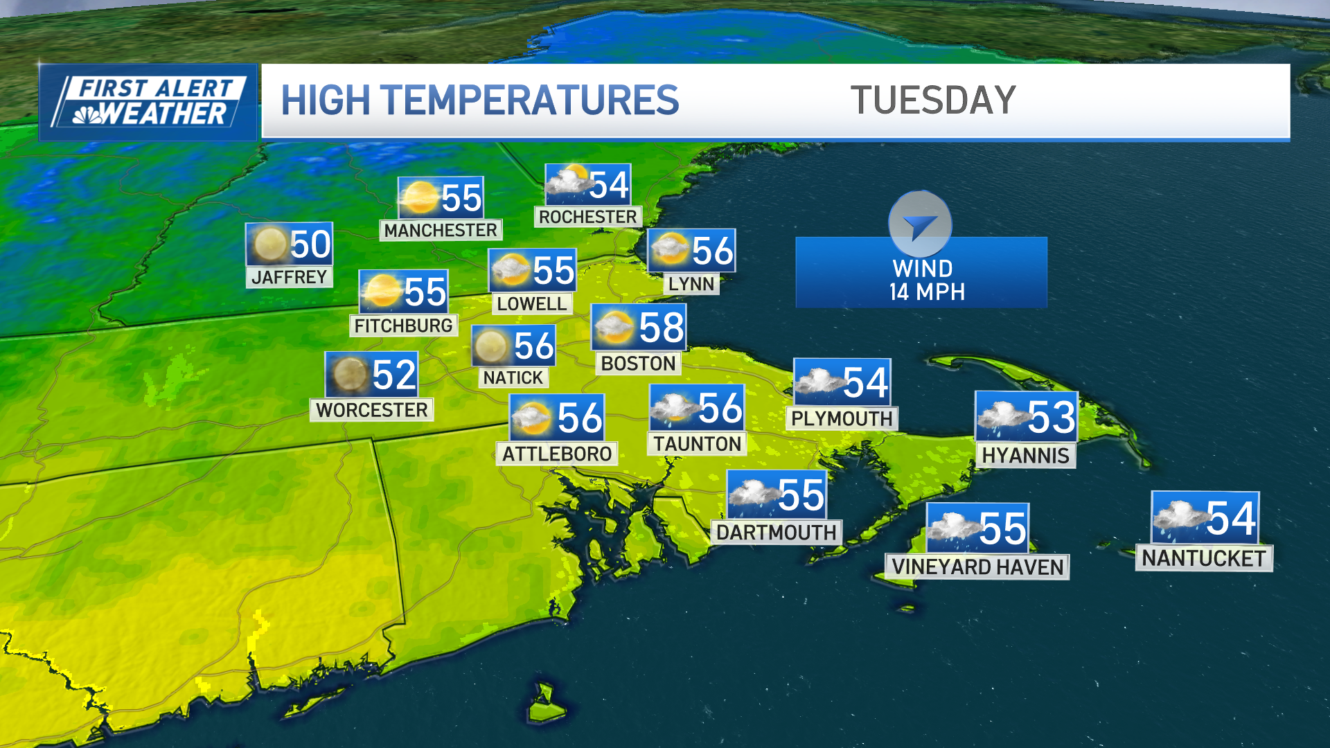
Our spring weather comes to a screeching halt overnight Wednesday night as a powerful system moves through.
We have already experienced some gusty windswept rainfall Wednesday morning. Gusts continue to push 50 to 60 miles per hour from the south at the coast, Cape and Islands with some 60+ mph gusts across higher elevations Wednesday night.

More scattered showers are in the forecast throughout the afternoon as temperatures remain in the 50s. Where we have a break in the steady rain, mist, drizzle and gusty winds will still keep it quite damp.
Widespread rain moves in 5 to 7 p.m. in western New England, into Boston after 7 p.m. and through midnight. As we get rainfall around 1 to 2 inches total through that time, we rapidly experience a drop in temperatures.

By midnight temps are in the teens and 20s in northern New England, 30s in Boston. Morning lows will be even colder. As this occurs, any water will freeze up creating an icy night into Thursday morning drive.
Wind chills by morning also reach the single digits to below zero up north. Winds will gust between 30 to 45 mph from the west Thursday. Highs only reach the 30s during the afternoon as some snow squalls develop across interior New England and in the mountains.

Snowfall by Thursday morning on the backside of the front will also add up to a couple inches in high terrain.
This cold air on Thursday is short-lived as our airmass modifies by Friday, bringing highs to the 40s under sunshine.

Warmer temps move in for the weekend as we go back to highs in the 50s both Saturday and Sunday. Though a system will be nearby southeast that will spin in some showers across southeastern New England.
This minor low looks to cutoff from the overall upper air flow, so models project it to spin near us offshore through early next week with another cutoff low midweek.

This is why we have added repeated rain chances for each day. Due to the model disagreement for next week things could very well change.
Weather Stories
Stay tuned for updates!


