This has been a wild winter. Over 12” of precipitation in Boston since the start of December, yet both the Vineyard and Nantucket are in severe drought (rain skipped them in the fall).
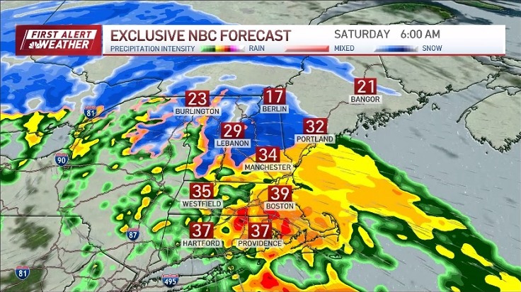
We’ll keep up the tempo into the weekend with another juicy storm taking aim at New England.
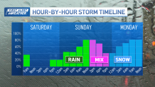
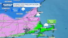
The arrival appears to be in the mid to late morning Sunday. Initially, the snow will be confined to the higher elevations of central Massachusetts and most of southern New Hampshire.
See all the weather alerts here.
Follow the storm on our interactive radar:
As the storm deepens on Sunday night, colder air will be drawn into the storm and the rain will switch to snow down to the coast. The greatest accumulations will come overnight Sunday and into Monday morning. Yes, that means the morning commute on Monday isn’t all sunshine and rainbows.
Snow consistency will be wet and heavy, so that makes it more slippery than light, dry snow. Take your time if you’re traveling, there will likely be many delays on Monday.
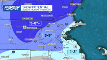
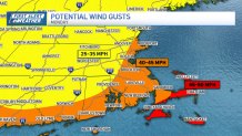
We’ll see the snow sweep out through the Cape during Monday afternoon. Increasing winds on Sunday into Monday could gust to 30-40 on the coast, 40-50 on Cape Cod.
There may be some isolated power outages due to the heavy wet snow on trees and power lines. Cold air will plunge deep into Southern New England Monday night and early Tuesday morning.
Then it’s quiet. Sun will blend with clouds through the middle of the week. Not expecting anything outrageously mild in the temperature department, but nothing bitter either.
Enjoy your weekend.
