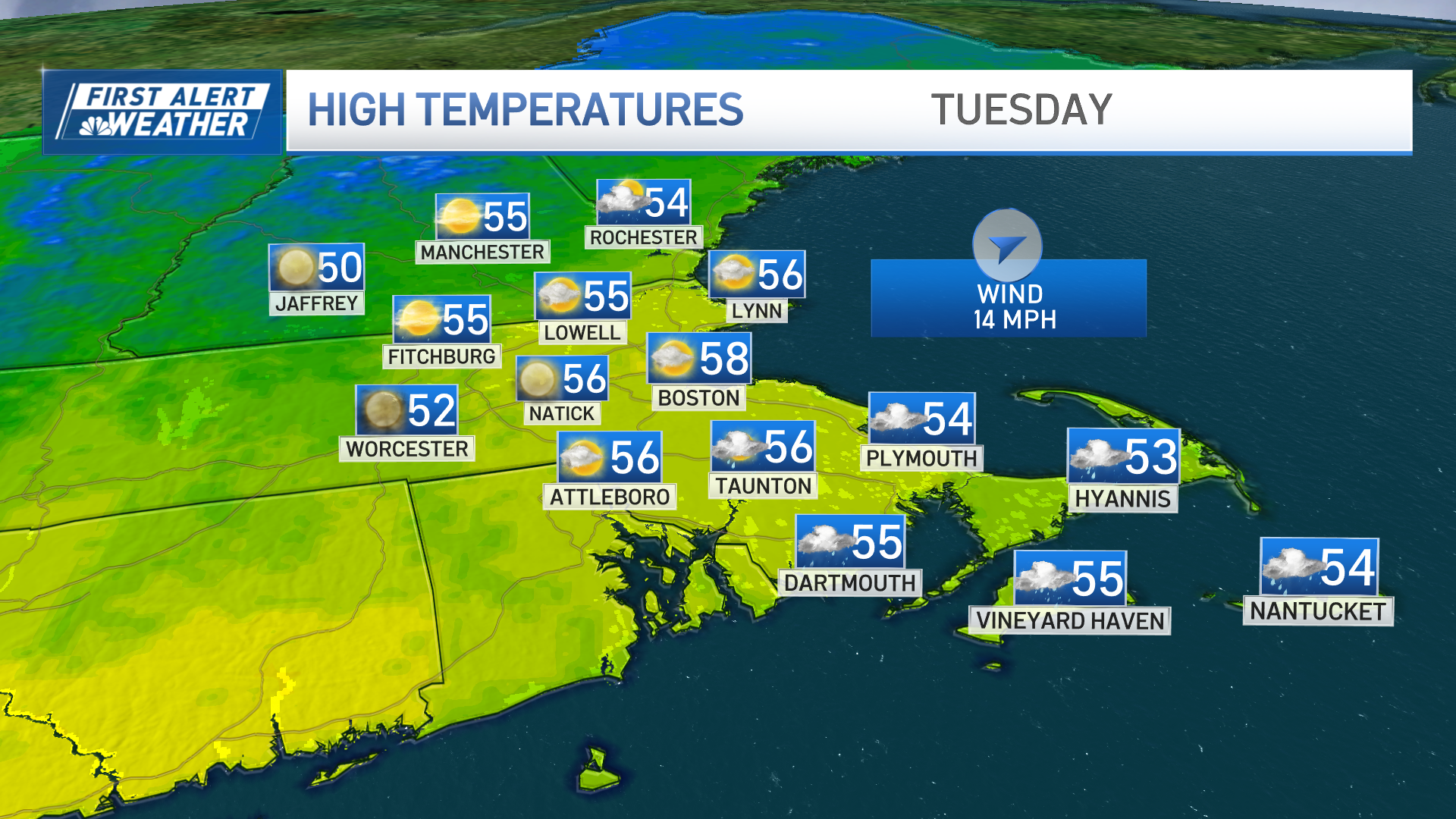
An ongoing complex of storms throughout the eastern half of the country is moving through New England Tuesday. The storm will feature two distinct windows of opportunity for severe weather.
The first arrived shortly before dawn and was expected to be the strongest of the two. Along the New England coast, scattered downpours and pockets of severe storms occurred during the morning drive. The torrential rain was expected to amount to nearly 1.5 inches of rain for locations through Norfolk County, MetroWest, and north of the Massachusetts Turnpike.
Worcester tornado warning
A tornado warning was issued shortly before 9 a.m. for parts of central and northeastern Massachusetts. A severe thunderstorm capable of producing a tornado was located near Sutton, about 11 miles south of Worcester. The warning expired at 9:30 a.m., but the threat of severe weather continues throughout the day.
So far, there has been no confirmation of a tornado touching down and no reports of major damage. The Massachusetts Department of Transportation said Route 20 in Worcester was temporarily closed in both directions due to flooding, but it has since reopened.
Severe thunderstorm warnings were issued for parts of eastern Massachusetts and Rhode Island Tuesday morning. A flash flood warning was also issued for parts of southern and central Maine until 2 p.m.
Weather Stories
Click here for the latest weather alerts.
More severe weather expected Tuesday afternoon
Lightning will also be widespread along the coast and across Worcester County Tuesday morning. As the first burst of heavy rain concludes midday, another round sets up. It will, to some extent, be dependent on how strong the previous showers are.
Energy will be limited, such that the stronger storms on Tuesday morning would tend to limit the afternoon and evening round. It seems like the second round will be quick, but still intents in spurts between 5 and 7 p.m. (from west to east) but should only last for half an hour at a time. Drier air will quickly replace Tuesday’s rain, with a sunny but breezy day on Wednesday.


