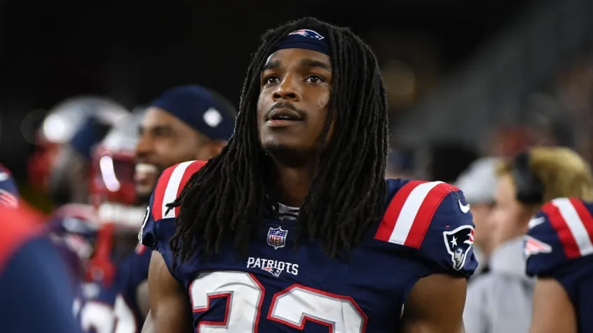
Why Kyle Dugger is primed for a bounce-back season with Patriots
Phil Perry and Andrew Callahan explain why they believe Patriots safety Kyle Dugger will have a bounce-back season in 2025.
Phil Perry and Andrew Callahan explain why they believe Patriots safety Kyle Dugger will have a bounce-back season in 2025.

Bruins general manager Don Sweeney shared a new coaching search update after the results of the 2025 NHL Draft Lottery.

Here’s how the Red Sox are viewed nationally amid an up-and-down start to their 2025 campaign.
Who should take over for Triston Casas as the Red Sox’ everyday first baseman? We ranked Boston’s options from best to worst.
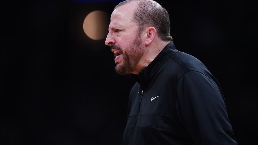
He might have orchestrated a Game 1 win for the New York Knicks against the Boston Celtics, but coach Tom Thibodeau’s basketball journey is deeply embedded in Massachusetts.
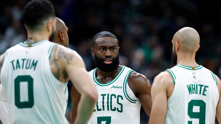
The Celtics’ poor 3-point shooting wasn’t the only reason they lost Game 1 to the Knicks. Chris Forsberg breaks down Boston’s vexing defeat.

The Patriots’ 2025 rookie class has new jersey numbers for the upcoming season.

What was once a small group of pizza spots will soon officially disappear from the local landscape.
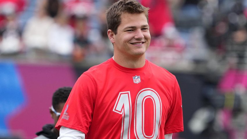
Joshua Dobbs shares his early impressions of Patriots QB Drake Maye and how they’ve built their relationship so far.
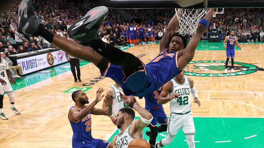
The Knicks’ best chance to upset the Celtics revolves around OG Anunoby’s play at both ends of the court.
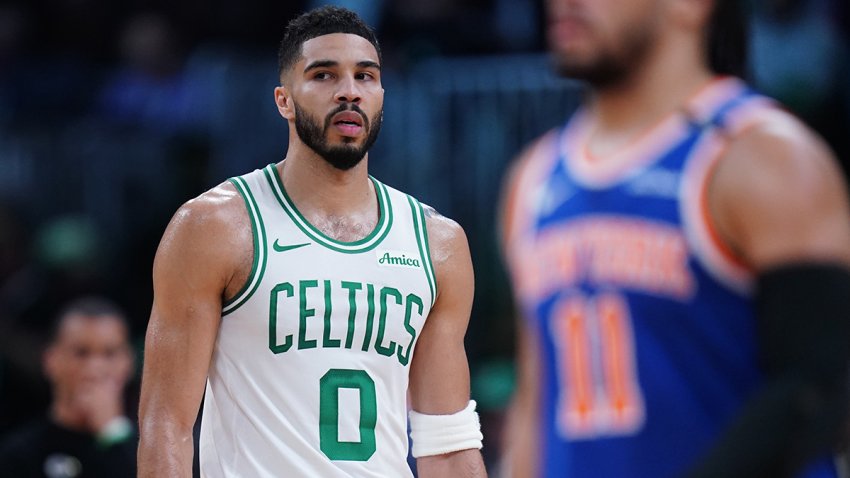
What should we make of the Celtics missing an NBA-playoff-record 45 3-pointers in Game 1 vs. the Knicks? The stats tell two different stories.

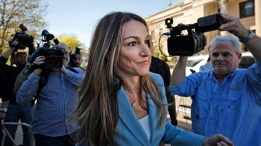
In Day 10 of the high-profile Karen Read trial, witnesses including a former Canton police lieutenant and Massachusetts State Police investigators who worked on the case testified.